geocat.ch
Kantonales Inventar der Flachmoore von nationaler, regionaler und lokaler Bedeutung (NW)
Der Geobasisdatensatz umfasst die Flachmoore, welche je nach Bewertungsformel, Artenzusammensetzung und Populationsgrösse, nationale, regionale oder lokale Bedeutung hat.
Simple
- Alternate title
-
Flachmoore
- Date (Creation)
- 1990-01-01
- Date (Revision)
- 2026-01-23
- Identifier
- nw_flachmoore
- Status
- On going
Owner
Das Amt für Raumentwicklung (ARE NW) sorgt für die haushälterische Nutzung des Bodens und die geordnete Besiedlung des Kantons unter Wahrung der natürlichen Lebensgrundlagen. Es koordiniert die Zusammenarbeit bei der Erfüllung raumwirksamer Aufgaben und sorgt für den Interessenausgleich bei räumlichen Nutzungskonflikten.
- Spatial representation type
- Vector
- Topic category
-
- L Environment
Extent
Extent
- Description
-
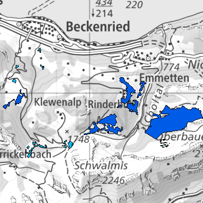
Canton of Nidwalden (NW)
))

- Maintenance and update frequency
- As needed
- GEMET
-
-
moor
-
marsh
-
peat
-
- geocat.ch
-
-
swamp
-
Resource constraints
- Access constraints
- Other restrictions
- Use constraints
- Other restrictions
- Other constraints
- Die Geodaten sind öffentlich zugänglich (Zugangsberechtigungsstufe A gemäss GeoIV Art. 21).
- Language
- Deutsch
- Character encoding
- UTF8
- Environment description
-
QGIS
- Subtopic Category
- L2 Nature and Landscape Protection
- Basic Geodata
- true
- Basic Geodata ID
-
28.1
- Basic Geodata Legal Level
- Bund
- Distribution format
-
-
andere Formate auf Anfrage
-
INTERLIS 2 (XTF)
-
Distributor
Digital transfer options
- OnLine resource
-
Geoshop NW
Datenbezug
Digital transfer options
- OnLine resource
-
Geobasisdatenkatalog
Digital transfer options
- OnLine resource
-
Webkarte Schutzgebiete Kantone
Identifier
- Code
- 2056
Metadata
- Metadata identifier
- 373BEFC1-0394-44FB-8249-EFBA7016DFCE
- Language
- Deutsch
- Character encoding
- UTF8
- Language
- Français
- Character encoding
- UTF8
- Language
- English
- Character encoding
- UTF8
- Language
- Italiano
- Character encoding
- UTF8
Custodian
Type of resource
- Resource scope
- Dataset
- Date info (Revision)
- 2026-05-12T10:10:46.000Z
Metadata standard
- Title
-
GM03_2