geocat.ch
Amtliche Vermessung MOpublic
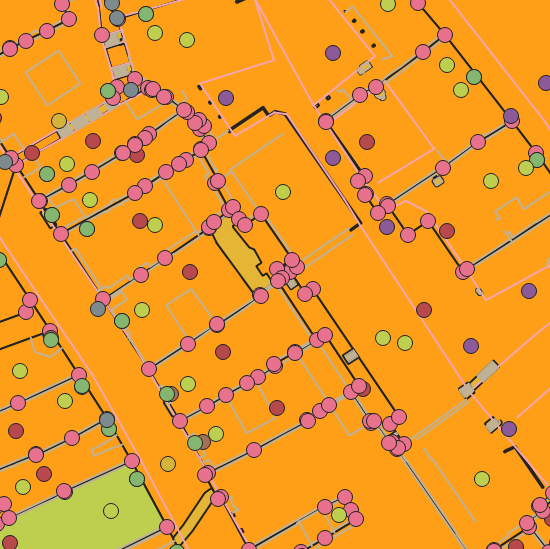
MOpublic ist ein Datensatz für die Kunden der amtlichen Vermessung, die die amtlichen Vermessungsdaten in einer einfacheren Struktur als der des Bundesmodells DM.01-AV-CH, importieren möchten. Das Datenmodell MOpublic wurde als schweizerischer Standard festgelegt, wobei kantonale Erweiterungen nicht zugelassen sind.
Simple
- Date (Creation)
- 2010-04-12
- Status
- Completed
Owner
- Spatial representation type
- Vector
- Topic category
-
- A Imagery base maps earth cover
Extent
Extent
- Description
-
Canton of Basel-Stadt (BS)
))

- Maintenance and update frequency
- Daily
- geocat.ch
-
-
cadastral surveying
-
Resource constraints
- Other constraints
-
Die Geodaten sind öffentlich zugänglich. (Zugangsberechtigungsstufe [A] = öffentlich)
- Other constraints
-
Es gelten die Nutzungsbedingungen für Geodaten des Kantons Basel-Stadt. ( http://www.geo.bs.ch/agb)
Associated resource
- Title
-
Amtliche Vermessung MOpublic
- Association Type
- Reference to a master resource of which this one is a part
- Language
- Deutsch
- Character encoding
- UTF8
- Supplemental Information
-
Die Struktur des Datenmodells des MOpublic ist nur in Englisch definiert. Damit wird unter anderem vermieden, dass für jede Sprache eine eigene Schnittstelle für den Export eingerichtet werden muss. In einem separaten Datensatz namens «LookUp» sind die verschiedenen Begriffe in Deutsch, Französisch, Italienisch und Englisch aufgeführt.
- Subtopic Category
- A1 Base Maps, Landscape Models
- Distribution format
-
-
AutoCAD DXF (DXF)
-
AutoCAD DWG (DWG)
-
ESRI Shapefile (SHP)
-
INTERLIS 1 (ITF)
-
Distributor
- Hours of service
-
Mo - Do: 8:00 bis 12:00, 13:30 bis 16:30, Fr: 8:00 bis 12:00, 13:30 bis 16:00
Digital transfer options
- OnLine resource
-
Geodaten-Shop
Öffentlich zugänglicher Geodaten-Downloaddienst des Kantons Basel-Stadt
- Reference system identifier
- CH1903+ / LV95/EPSG: 2056
Metadata
- Metadata identifier
- 37028313-6783-4e52-b5ad-d9dbe73b982f
- Language
- Deutsch
- Character encoding
- UTF8
- Language
- Français
- Character encoding
- UTF8
- Language
- Italiano
- Character encoding
- UTF8
- Language
- English
- Character encoding
- UTF8
Custodian
Type of resource
- Resource scope
- Dataset
- Metadata linkage
-
https://www.geocat.ch/geonetwork/srv/api/records/37028313-6783-4e52-b5ad-d9dbe73b982f
- Date info (Creation)
- 2013-03-08T10:31:38Z
- Date info (Revision)
- 2026-04-13T09:25:04.489021Z
Metadata standard
- Title
-
eCH-0271