geocat.ch
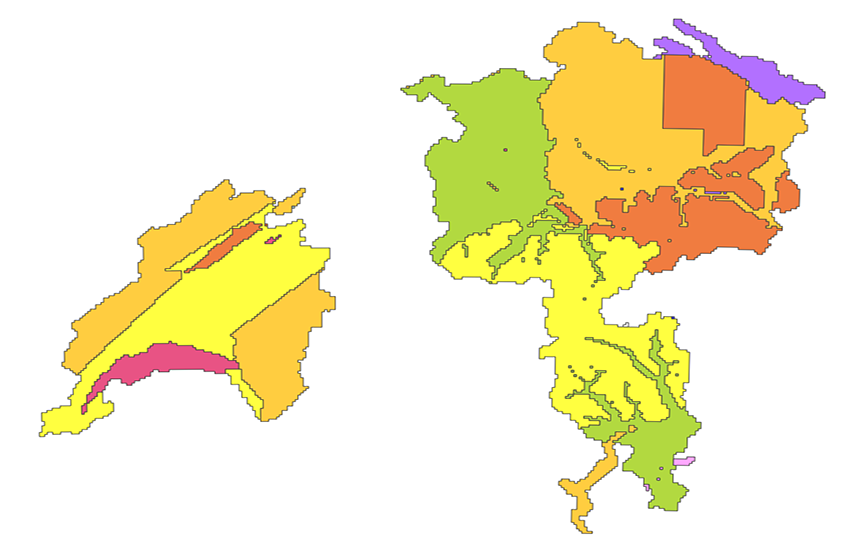
Geographical Extend swissSURFACE3D Raster
swissSURFACE3D Raster is a digital surface model (DSM) which represents the earth's surface including all stable and visible landscape elements such as soil, natural cover, woods and all sorts of constructive works. swissSURFACE3D Raster is produced in 1 km2 tiles. The tiles are numbered based on the coordinates in kilometers of their southwestern corner.
Simple
- Alternate title
-
Division swissSURFACE3D Raster
- Date (Creation)
- 2019-02-06
- Identifier
- ch.swisstopo.swisssurface3d-raster.metadata
Owner
- Topic category
-
- C Elevation
Extent
Extent
- Description
-
SWISSIMAGE 10 cm
- Geographic identifier
- SWISSIMAGE 10 cm
))

- Maintenance and update frequency
- Unknown
- GEMET
-
-
relief (land)
-
laser
-
altitude
-
vegetation
-
- GEMET - INSPIRE themes, version 1.0
-
-
Elevation
-
- geocat.ch
-
-
raster data
-
LIDAR (Light Detection And Ranging)
-
Airborne-Laser-Scanning
-
- geocat.ch
-
-
FSDI Federal Spatial Data Infrastructure
-
Resource constraints
- Use constraints
- Other restrictions
- Language
- Deutsch
- Character encoding
- UTF8
- Basic Geodata
- true
- Basic Geodata ID
-
41.7
- Basic Geodata Legal Level
- Federal
- Distribution format
-
-
ESRI Shapefile (SHP)
-
Digital transfer options
- OnLine resource
-
Vorschau map.geo.admin.ch
Preview map.geo.admin.ch
Digital transfer options
- OnLine resource
-
RESTful API von geo.admin.ch
RESTful API from geo.admin.ch
Digital transfer options
- OnLine resource
-
ch.swisstopo.swisssurface3d-raster.metadata
WMS-FSDI service, layer "Division swissSURFACE3D Raster"
- Geometric object type
- Surface
- Reference system identifier
- EPSG:2056
Metadata
- Metadata identifier
- 36ad08cb-ba6b-4bd4-9960-c809a1ff7a66
- Language
- Deutsch
- Character encoding
- UTF8
- Language
- Français
- Character encoding
- UTF8
- Language
- Italiano
- Character encoding
- UTF8
- Language
- English
- Character encoding
- UTF8
- Language
- Rumantsch
- Character encoding
- UTF8
Custodian
Type of resource
- Resource scope
- Dataset
- Metadata linkage
-
https://www.geocat.ch/geonetwork/srv/api/records/36ad08cb-ba6b-4bd4-9960-c809a1ff7a66
- Date info (Creation)
- 2020-08-28T06:16:48Z
- Date info (Revision)
- 2026-04-13T09:45:54.809223Z
Metadata standard
- Title
-
GM03_2