geocat.ch
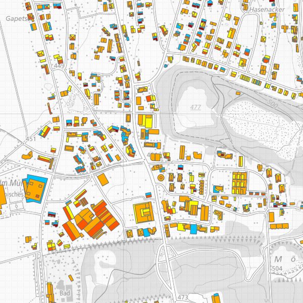
Eignung von Hausdächern für die Nutzung von Sonnenenergie
Die Sonnenenergie, welche auf die Erdoberfläche trifft, kann durch die beiden bewährten Solartechnologien Photovoltaik (Strom) und Solarthermie (Wärme) genutzt werden, um selber erneuerbare Energie zu produzieren. Das Potenzial von Solarstrom ist beträchtlich: bis zum Jahr 2050 könnten rund 20 Prozent des derzeitigen Strombedarfs in der Schweiz durch Photovoltaik erzeugt werden. Solarwärme ist dank standardisierten Anlagentypen für Warmwasser und Heizungsunterstützung eine interessante Option. Die Eignungskarte zeigt für ein Dach, wie gut es für die Nutzung von Solarenergie geeignet ist und welcher Ertrag möglich wäre. Dafür wird der Sonnengang über das Jahr simuliert und die auf jede Dachfläche treffende Sonnenstrahlung berechnet. Die Berechnungen basieren auf den Werten zur Sonneneinstrahlung des Bundesamtes für Meteorologie und Klimatologie (MeteoSchweiz) und den 3D-Gebäudedaten des Bundesamtes für Landestopografie swisstopo (Produkt swissBUILDINGS3D 2.0). Die Daten decken das ganze Fürstentum Liechtenstein ab.
Simple
- Date (Publication)
- 2016-12-13
- Identifier
- https://metadata.geo.llv.li/33e1d30d-efad-4530-b981-96e2fe97c820
- Purpose
-
Solarkataster
- Status
- Required
Point of contact
- Spatial representation type
- Vector
Spatial resolution
Equivalent scale
- Denominator
- 25000
- Topic category
-
- Q Utilities communication
- K Climatology, meteorology, atmosphere
Extent
Extent
- Description
-
Liechtenstein
))

- Maintenance and update frequency
- As needed
- GEMET
-
-
solar energy
-
environment
-
- GEMET themes
-
-
energy
-
Resource constraints
- Use limitation
-
gebührenpflichtig
- Access constraints
- Other restrictions
- Other constraints
-
-- URL Nutzungsbedingungen (s. Handbuch)
- Country
- CH
- Title
-
510.620.2 Verordnung des VBS über die Gebühren des Bundesamtes für Landestopografie (GebV-swisstopo)
- Date (Publication)
- 2016-10-01
Associated resource
- Association Type
- Reference to a master resource of which this one is a part
- Metadata Reference
- Language
- Deutsch
- Character encoding
- UTF8
- Subtopic Category
- Q1 Energy
- Distribution format
-
-
ESRI Shapefile (SHP)
-
Resource provider
- Title
-
ESRI Shapefile (SHP)
- Date
Digital transfer options
- OnLine resource
-
Bundeamt für Energie - Datenbezug
Digital transfer options
- Hierarchy level
- Dataset
- Statement
-
-
- Hierarchy level
- Dataset
- Topology level
- Full planar graph
- Geometric object type
- Surface
- Geometric object count
- 1
- Reference system identifier
- http://www.opengis.net/def/crs/EPSG/0/2056
- Maintenance and update frequency
- As needed
Metadata
- Metadata identifier
- 33e1d30d-efad-4530-b981-96e2fe97c820
- Language
- Deutsch
- Character encoding
- UTF8
- Language
- Français
- Character encoding
- UTF8
- Language
- Italiano
- Character encoding
- UTF8
- Language
- English
- Character encoding
- UTF8
Point of contact
Type of resource
- Resource scope
- Dataset
- Metadata linkage
-
https://www.geocat.ch/geonetwork/srv/api/records/33e1d30d-efad-4530-b981-96e2fe97c820
- Date info (Creation)
- 2016-12-13T09:57:45Z
- Date info (Revision)
- 2026-04-13T09:34:21.778066Z
Metadata standard
- Title
-
eCH-0271