geocat.ch
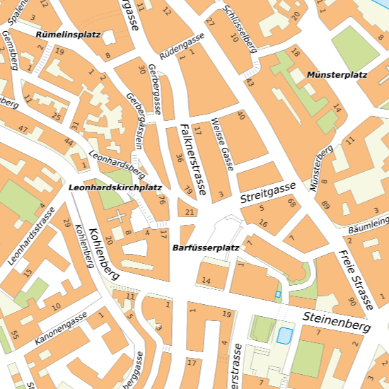
Vektorstadtplan
Bei den Vektordaten des offiziellen Stadtplans handelt es sich um veredelte Originaldaten des kartographischen Produktionssystems.
Semplice
- Data (Creazione)
- 2020-11-03
- Stato
- In corso
Proprietario
- Tipo di rappresentazione spaziale
- Vettoriale
- Categoria ISO
-
- A Mappe di base con immagini della copertura terrestre
Estensione
Estensione
- Descrizione
-
Basel-Stadt und Umgebung
- Identificatore geografico
- Basel-Stadt (und Umgebung)
))

- Frequenza di aggiornamento
- Secondo necessità
- geocat.ch
-
-
carta di città
-
- geocat.ch
-
-
opendata.swiss
-
Vincoli sulle risorse
- Altri vincoli
-
Die Geodaten sind öffentlich zugänglich. (Zugangsberechtigungsstufe [A] = öffentlich)
- Altri vincoli
-
Es gelten die Nutzungsbedingungen für Geodaten des Kantons Basel-Stadt. ( http://www.geo.bs.ch/agb)
Risorsa associata
- Titolo
-
Offizieller Stadtplan
- Tipo di associazione
- Citazione di un'opera più ampia
- Lingua
- Deutsch
- Codifica dei caratteri
- UTF8
- Categoria di sottotema
- A1 Mappe di base, modelli paesaggistici
- Geodati di base
- true
- Identificativo dei geodati di base
-
11-BS
- Livello legale dei geodati di base
- Cantonal
- Tipo di geodati di base
- openData
- Formato (codifica)
-
-
ESRI Shapefile (SHP)
-
INTERLIS 2 (XTF)
-
AutoCAD DXF (DXF)
-
ESRI File Geodatabase FileGDB (GDB)
-
OGC Geopackage (GPKG)
-
AutoCAD DWG (DWG)
-
Distributore
- Orario di servizio
-
Mo - Do: 8:00 bis 12:00, 13:30 bis 16:30, Fr: 8:00 bis 12:00, 13:30 bis 16:00
Opzioni di trasferimento digitale
- Risorsa online
-
MapBS
Öffentliches Auskunftssystem des Kantons Basel-Stadt
Opzioni di trasferimento digitale
- Risorsa online
-
Geodaten-Shop
Öffentlich zugänglicher Geodaten-Downloaddienst des Kantons Basel-Stadt
Opzioni di trasferimento digitale
- Risorsa online
-
WMS BS
Die derzeit im WMS BS verfügbaren Datenebenen entsprechen, bis auf wenige Ausnahmen, den Geodaten, welche auch in MapBS dargestellt sind. Der WMS BS ist kostenlos nutzbar und bietet Zugriff auf öffentliche sowie beschränkt öffentliche Geodaten, wobei gegebenenfalls Benutzername und Passwort benötigt werden (Zugangsdaten von MapBS).
Opzioni di trasferimento digitale
- Risorsa online
-
Permalink opendata.swiss
Permalink opendata.swiss
- Nome del sistema di riferimento
- CH1903+ / LV95/EPSG: 2056
Metadati
- Identificativo della scheda
- 33aa9d9e-a38e-468e-9c60-68e7d3cf8a90
- Lingua
- Deutsch
- Codifica dei caratteri
- UTF8
- Lingua
- Français
- Codifica dei caratteri
- UTF8
- Lingua
- Italiano
- Codifica dei caratteri
- UTF8
- Lingua
- English
- Codifica dei caratteri
- UTF8
Custode
Tipo di risorsa
- Ambito di applicazione della risorsa
- Set di dati
- Collegamento ai metadati
-
https://www.geocat.ch/geonetwork/srv/api/records/33aa9d9e-a38e-468e-9c60-68e7d3cf8a90
- Informazioni sulla data (Creazione)
- 2020-10-28T06:10:07Z
- Informazioni sulla data (Revisione)
- 2026-04-13T09:42:11.072757Z
Standard dei metadati
- Titolo
-
eCH-0271