geocat.ch
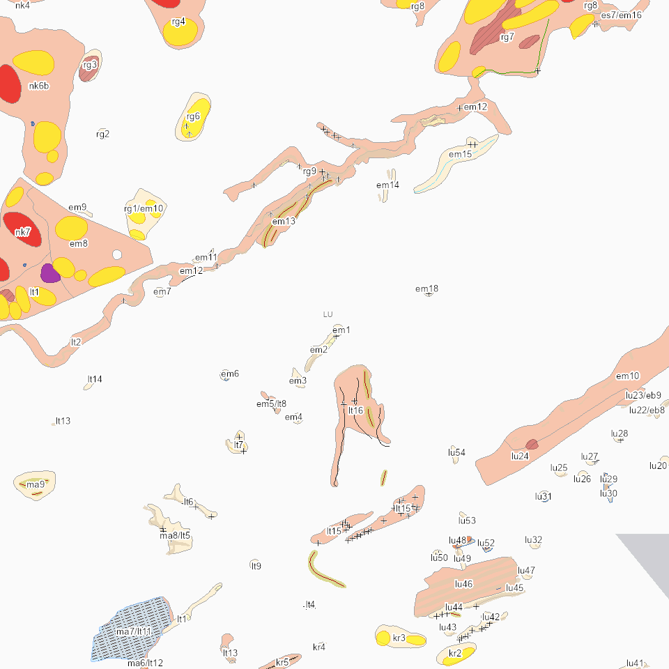
Lebensrauminventar (LRI): geologische und geomorphologische Elemente
Geologisch und geomorphologisch schützenswerte Elemente mit Schutzbedeutung national, regional und lokal
Simple
Informazioni di identificazione
- Titolo alternativo
-
LRIGEOXX_COL
- Data (Creazione)
- 2023-03-02
- Formato di presentazione
- Mappa digitale
- Finalità
-
Der Kanton Luzern verfügt über ein Inventar der schützenswerten geologischen und geomorphologischen Elemente (Geotopinventar). Diese interessanten Zeugen der Zeit (z.B. Moränen, Toteislöcher, Drumlins oder Karstlandschaften) prägen die Landschaft und geben ihr ein unverwechselbares Aussehen. Zum Schutz der Einmaligkeit der Luzerner Landschaft hat der Regierungsrat 2001 das «Inventar der geologischen und geomorphologischen Elemente» erlassen. Der Regierungsrat hat das Inventar 2019 umfassend überprüft und revidiert. Neu umfasst es noch Elemente mit einer Gesamtfläche von rund 20'000 Hektar (bisher 65'000 Hektar). Das revidierte Inventar ist per 2. Juli 2019 in Kraft getreten.Das Inventar der geologisch und geomorphologisch schützenswerten Landschaften ist Bestandteil vom LRI (Lebensrauminventar). Unterschieden sind drei Schutztufen: national, regional und lokal.
- Status
- In corso
Punto di contatto
Servizio responsabile
- Nome dell'ente
-
Kanton Luzern, Abteilung Geoinformation
- Telefono
-
041 228 51 83
Indirizzo
- Risorsa online
- https://geoportal.lu.ch/ ( https )
- Ruolo
- Publisher
Punto di contatto
Servizio responsabile
- Nome dell'ente
-
Dienststelle Landwirtschaft und Wald (lawa)
- Telefono
-
041 349 74 00
Indirizzo
- Ruolo
- Owner
- Cognome
-
Dienststelle Landwirtschaft und Wald (lawa)
- Abbreviazione dell'organizzazione
-
lawa
- Frequenza di aggiornamento
- Secondo necessità
-
geocat.ch
-
-
opendata.swiss
-
Geologie
-
Geomorphologie
-
Landschaftsschutz
-
Lebensraum
-
Naturschutz
-
Ökologische Vernetzung
-
- Vincoli di accesso
- none
- Vincoli di fruibilità
- Proprietà intellettuale dei dati
- Limitazione d’uso
-
öffentlich zugängliche Geobasisdaten
- Vincoli di accesso
- none
- Vincoli di fruibilità
- none
- Limitazione d’uso
-
Freie Nutzung. Quellenangabe ist Pflicht
- Identificatore aggregato del dataset
- 909ed508-d600-4b3d-b28d-f7414213c1a9
- Tipo di associazione
- Larger work citation
- Tipo di rappresentazione spaziale
- undefined
- Lingua dei metadati
- Deutsch
- Set dei caratteri dei metadati
- UTF8
- Tema
-
- L Protezione dell'ambiente e della natura
- L2 Protezione della natura e del paesaggio
- Descrizione
-
Kanton Luzern
))
- Formato di distribuzione
-
-
ESRI Geodatabase (.gdb)
(
)
-
ESRI Shapefile (.shp)
(
)
-
OGC GeoPackage (.gpkg)
(
)
-
ESRI Geodatabase (.gdb)
(
)
Distributore
Servizio responsabile
- Nome dell'ente
-
Dienststelle Raum und Wirtschaft (rawi)
- Telefono
-
041 228 51 83
Indirizzo
- Risorsa online
- https://geoportal.lu.ch ( https )
- Ruolo
- Point of contact
- Nome
-
Geodaten
- Cognome
-
Kanton Luzern
- Abbreviazione dell'organizzazione
-
rawi
- Risorsa online
-
Datenshop
(
https
)
Produktansicht Geodatenshop
- Livello
- Set di dati
- Genealogia del dato – Processo di produzione
-
unbekannt
- Identificatore del sistema di riferimento
- CH1903+
Metadata
- Lingua dei metadati
- Deutsch
- Set dei caratteri dei metadati
- UTF8
- Livello gerarchico
- Set di dati
- Data dei metadati
- 2025-09-03
- Nome dello Standard dei metadati
-
GM03 2+
Contatto
Servizio responsabile
- Nome dell'ente
-
Dienststelle Raum und Wirtschaft (rawi)
- Telefono
-
041 228 51 83
Indirizzo
- Città
-
Luzern
- Codice postale
-
6002
- Nazione
-
CH
- Via
-
Murbacherstrasse
- Numero
-
21
- Risorsa online
- https://geoportal.lu.ch ( https )
- Ruolo
- Point of contact
- Nome
-
Stefanie
- Cognome
-
Hinn
- Abbreviazione dell'organizzazione
-
rawi
- Frequenza di aggiornamento
- Secondo necessità