geocat.ch
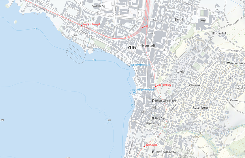
Light Base Map worldwide (Vector Tile Style)
«Light base map» is a visually and content reduced base map, which represents the most relevant topographic features and names adapted to the respective zoom level. It is constructed on the basis of official data: the topographic landscape model, the digital elevation model, digital cartographic models, public transportation stops and official street registry. The vector representation is based on the Maplibre Style Specification. The data basis consists of vector tiles (Base Vector Tileset and Relief Vector Tileset). For foreign countries, vector tiles based on Open Street Map are used. They are provided by openmaptiles.org.
Simple
- Alternate title
-
Light Base Map World
- Date (Creation)
- 2019-02-01
- Date (Revision)
- 2024-03-01
- Identifier
- ch.swisstopo.lightbasemap_world.vt
- Status
- On going
Point of contact
Owner
- Spatial representation type
- Vector
Spatial resolution
Equivalent scale
- Denominator
- 5000
Spatial resolution
Equivalent scale
- Denominator
- 1000000
- Topic category
-
- A Imagery base maps earth cover
Extent
Extent
- Description
-
National map 1:1'000'000
- Geographic identifier
- NM1000
))

- Maintenance and update frequency
- As needed
- geocat.ch
-
-
base map
-
FSDI Federal Spatial Data Infrastructure
-
official geodata
-
- GEMET - INSPIRE themes, version 1.0
-
-
Geographical names
-
Resource constraints
- Use limitation
-
The terms of use for free geodata and geoservices (OGD) from swisstopo apply, as do the general terms of use and operating regulations of the federal spatial data infrastructure FSDI.
For digital or analogue representations and publications, the following source reference must be included: © swisstopo, © OpenStreetMap contributors
Restrictions of use:
The "Mapbox Vector Tiles" geoservice has usage restrictions imposed due to the incorporation of OpenMaptiles data. As per licensing requirements, the global data can only be utilised by administrative units of the Swiss central federal administration, following specification in Annex 1 of the Government and Administration Organisation Ordinance (Annex 1 RVOV, SR 172.010.1). However, users outside the Federal Administration can access the vector tilesets covering Switzerland and Liechtenstein provided by swisstopo free of charge.
- Use constraints
- Other restrictions
Associated resource
- Title
-
National survey
- Association Type
- Reference to a master resource of which this one is a part
- Language
- English
- Character encoding
- UTF8
- Supplemental Information
-
Global expansion (see restriction of use)
Units of the central federal administration can apply to swisstopo ( webgis@swisstopo.ch) for a key to access geodata services outside Switzerland.
- Subtopic Category
- A1 Base Maps, Landscape Models
- Basic Geodata
- true
- Basic Geodata ID
-
42.17
- Basic Geodata Legal Level
- Federal
- Basic Geodata Type
- Reference Geodata
- Distribution format
-
-
JavaScript Object Notation (JSON)
-
Digital transfer options
Digital transfer options
Digital transfer options
Digital transfer options
- OnLine resource
-
Download Vector Tile Style
Vector Tile Style für den Perimeter Schweiz
- Reference system identifier
- EPSG:3857
Metadata
- Metadata identifier
- 296a75ce-4740-49a4-b080-c3778f2935f0
- Language
- Deutsch
- Character encoding
- UTF8
- Language
- Français
- Character encoding
- UTF8
- Language
- Italiano
- Character encoding
- UTF8
- Language
- English
- Character encoding
- UTF8
- Language
- Rumantsch
- Character encoding
- UTF8
Point of contact
Type of resource
- Resource scope
- Dataset
- Metadata linkage
-
https://www.geocat.ch/geonetwork/srv/api/records/296a75ce-4740-49a4-b080-c3778f2935f0
- Date info (Creation)
- 2025-05-15T10:33:42.679Z
- Date info (Revision)
- 2026-04-13T09:27:35.416101Z
Metadata standard
- Title
-
eCH-0271