geocat.ch
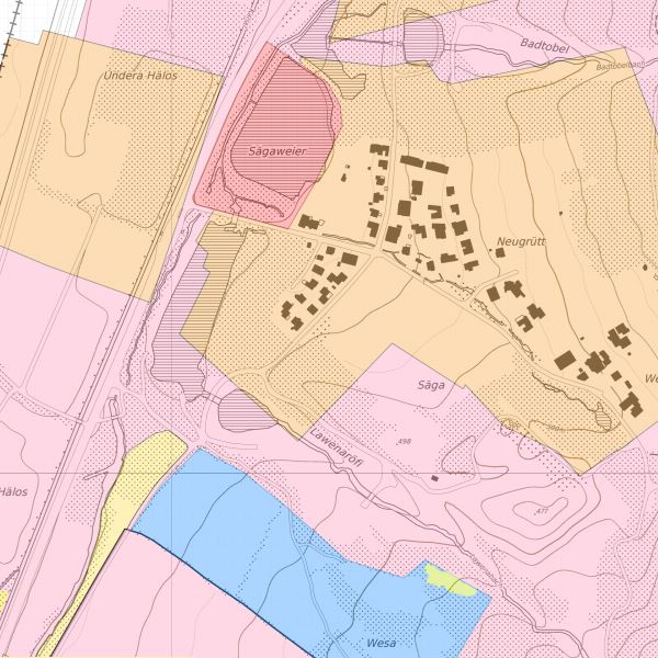
Protected areas in the civilian air navigation obstacles publication – Protected areas Liechtenstein
Protected areas as defined in the Nature Conservation Act (Naturschutzgesetz; NSchG), and other protected areas in which off-airport landings, emergency landing exercises and hovering for training purposes are prohibited. This dataset contains a compilation of the following legally protected areas in accordance with Art. 1, 4 and 8 of the Ordinance of 18 October 2016 on Aircraft Taking Off and Landing outside Aerodromes (Off-Aerodrome Landing Ordinance; OALO): a) protected landscapes (Art. 18 NSchG); b) nature reserves (Art. 19 NSchG); c) flora conservation areas (Art. 21 NSchG); d) low-nutrition meadows (Art. 22 NSchG); e) rest areas (Art. 23 NSchG). The dataset also lists highly sensitive areas as specified by the government (in accordance with Art. 4 para. 2 OALO). These include areas which contain protected objects, protected habitats or protected assets in accordance with the Nature Conservation Act (NSchG), as well as major wildlife corridors.
Simple
- Alternate title
-
Protected areas Liechtenstein AuLaV
- Date (Creation)
- 2016-10-18
- Identifier
- ch.bazl.schutzgebiete-aulav_liechtenstein
- Purpose
-
Vollzug AuLaV, Darstellung im Geodatenportals des BAZL
- Status
- Completed
Point of contact
- Hours of service
-
8:00-11:30 und 13:30-17:00
- Spatial representation type
- Vector
Spatial resolution
Equivalent scale
- Denominator
- 500
- Topic category
-
- L Environment
Extent
Extent
- Description
-
Liechtenstein
))

- Maintenance and update frequency
- As needed
Resource format
- Title
-
ESRI Shapefile (SHP)
- Date
Resource format
- Title
-
INTERLIS 1 (ITF)
- Date
- GEMET
-
-
air traffic
-
vector
-
aircraft
-
intervention on land
-
- geocat.ch
-
-
air navigation
-
- GEMET - INSPIRE themes, version 1.0
-
-
Coordinate reference systems
-
Protected sites
-
Transport networks
-
- Räumlicher Anwendungsbereich
-
-
National
-
- geocat.ch
-
-
FSDI Federal Spatial Data Infrastructure
-
Resource constraints
- Access constraints
- Other restrictions
- Other constraints
- no limitations to public access
- Country
- LI
- Legislation Type
- Ordinance
- Legislation Level
- national
- Title
-
Verordnung vom 30. August 2011 über die Gebühren für die Nutzung der Geodateninfrastruktur Liechtenstein
- Date (Creation)
- 2011-08-30
Resource constraints
- Use limitation
-
Zugangs- und Nutzungsbedingungen
- Use constraints
- Other restrictions
- Other constraints
-
gebührenpflichtig
- Language
- Deutsch
- Character encoding
- UTF8
- Subtopic Category
- L1 Environmental Protection, Noise
- Distribution format
-
-
INTERLIS 1 (ITF)
-
AutoCAD DXF (DXF)
-
ESRI Shapefile (SHP)
-
Point of contact
- Hours of service
-
8:00-11:30 und 13:30-17:00
Digital transfer options
- OnLine resource
-
Vorschau map.geo.admin.ch
Preview map.geo.admin.ch
Digital transfer options
- OnLine resource
-
ch.bazl.schutzgebiete-aulav_liechtenstein
WMS-FSDI service, layer "Protected areas Liechtenstein AuLaV"
Digital transfer options
- OnLine resource
-
ch.bazl.schutzgebiete-aulav_liechtenstein
WMTS-FSDI service, layer "Protected areas Liechtenstein AuLaV"
Digital transfer options
- OnLine resource
-
Geodatenportal der Liechtensteinische Landesverwaltung
Geodatenportal
Digital transfer options
- OnLine resource
-
Homepage ATG, Datenausgabestelle
Datenausgabestelle der Liechteinsteinischen Landesverwaltung
Digital transfer options
- OnLine resource
-
RESTful API von geo.admin.ch
RESTful API from geo.admin.ch
- Hierarchy level
- Dataset
- Other
-
Alle Ebenen/Tous les niveaux
Report
Result
- Title
-
COMMISSION REGULATION (EU) No 1089/2010 of 23 November 2010 implementing Directive 2007/2/EC of the European Parliament and of the Council as regards interoperability of spatial data sets and services
- Date (Publication)
- 2010-12-08
- Explanation
-
nicht geprüft/Non vérifié
- Pass
- false
- Statement
-
Der Datensatz besteht aus gesetzliche Schutzgebieten, die in anderen Themenbereich erfasst wurden und speziell empfindlichen Zonen, die auf der Grundlage der Amtlichen Vermessung erfasst wurden.
- Hierarchy level
- Dataset
- Other
-
Alle Ebenen/Tous les niveaux
- Topology level
- Full planar graph
- Geometric object type
- Surface
- Geometric object count
- 50
- Reference system identifier
- http://www.opengis.net/def/crs/EPSG/0/21782
- Reference system identifier
- http://www.opengis.net/def/crs/EPSG/0/4936
- Maintenance and update frequency
- As needed
Metadata
- Metadata identifier
- 25c6e9dd-b658-41fa-8f8d-3fc2775e3a6f
- Language
- Deutsch
- Character encoding
- UTF8
- Language
- Français
- Character encoding
- UTF8
- Language
- Italiano
- Character encoding
- UTF8
- Language
- Rumantsch
- Character encoding
- UTF8
- Language
- English
- Character encoding
- UTF8
Point of contact
- Hours of service
-
8:00-11:30 und 13:30-17:00
Type of resource
- Resource scope
- Dataset
- Metadata linkage
-
https://www.geocat.ch/geonetwork/srv/api/records/25c6e9dd-b658-41fa-8f8d-3fc2775e3a6f
- Date info (Creation)
- 2017-07-07T14:24:37Z
- Date info (Revision)
- 2026-04-13T09:13:11.169164Z
Metadata standard
- Title
-
eCH-0271