geocat.ch
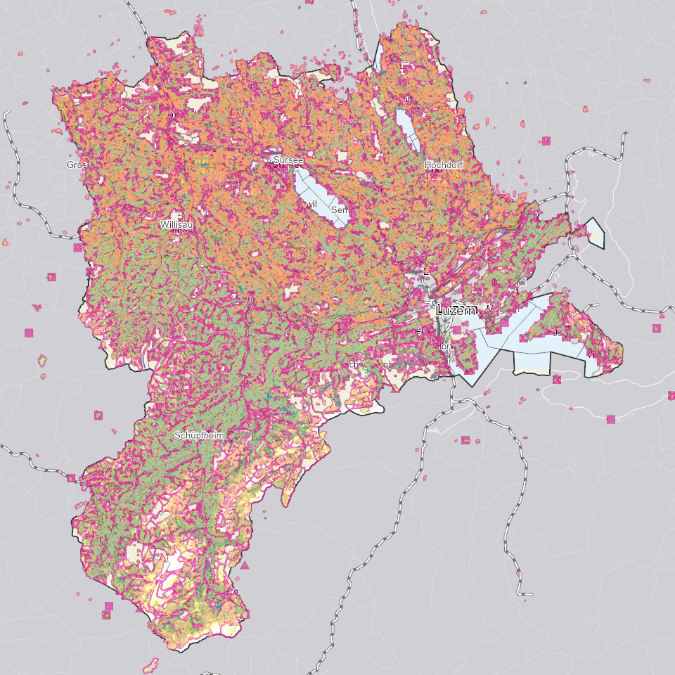
Landwirtschaftliche Bewirtschaftung
Daten zu Landwirtschaftbetrieben und Bewirtschaftungseinheiten, Rebbaukataster (Perimeter Terrassenreben), Landwirtschaftliche Nutzungsflächen (LN), Perimeter LN und Sömmerungsflächen (inkl. Bundesdaten)
Simple
Informazioni di identificazione
- Titolo alternativo
-
LWBWXXXX_COL
- Data (Creazione)
- 2025-02-05
- Formato di presentazione
- Mappa digitale
- Finalità
-
Die landwirtschaftlichen Betriebs- und Flächendaten werden für den Vollzug des Landwirtschaftsgesetzes - insbesondere als Grundlage zur Berechnung der Direktzahlungen - sowie des Bundesstatistikgesetzes räumlich erfasst.Den Geodatenmodellen "Landwirtschaftliche Kulturflächen" liegt der Geobasisdateneintrag 153 nach GeoIV zu Grunde.Unter den Landwirtschaftlichen Kulturflächen werden in Zukunft auch die Biodiversitätsförderflächen Qualitätsstufe I und II und Vernetzung (BFF II) ergänzt.
- Status
- In corso
Punto di contatto
Servizio responsabile
- Nome dell'ente
-
Kanton Luzern, Abteilung Geoinformation
- Telefono
-
041 228 51 83
Indirizzo
- Risorsa online
- https://geoportal.lu.ch/ ( https )
- Ruolo
- Publisher
Punto di contatto
Servizio responsabile
- Nome dell'ente
-
Dienststelle Landwirtschaft und Wald (lawa)
- Telefono
-
041 349 74 00
Indirizzo
- Ruolo
- Owner
- Cognome
-
Dienststelle Landwirtschaft und Wald (lawa)
- Abbreviazione dell'organizzazione
-
lawa
-
geocat.ch
-
-
opendata.swiss
-
Betriebe
-
Biodiversität
-
Bodennutzung
-
Grundbuch
-
Grundeigentum
-
Landwirtschaft
-
Landwirtschaftliche Nutzung
-
Ökologische Vernetzung
-
Topographie
-
Wirtschaftliche Aktivitäten
-
- Vincoli di accesso
- none
- Vincoli di fruibilità
- Proprietà intellettuale dei dati
- Limitazione d’uso
-
öffentlich zugängliche Geobasisdaten
- Vincoli di accesso
- none
- Vincoli di fruibilità
- none
- Limitazione d’uso
-
Freie Nutzung. Quellenangabe ist Pflicht
- Identificatore aggregato del dataset
- 6de2981f-f9ce-4c5e-b7a9-0cf7b4d5c2b2
- Tipo di associazione
- Larger work citation
- Tipo di rappresentazione spaziale
- undefined
- Lingua dei metadati
- Deutsch
- Set dei caratteri dei metadati
- UTF8
- Tema
-
- S Agricoltura
- Descrizione
-
Kanton Luzern
- Formato di distribuzione
-
-
ESRI Geodatabase (.gdb)
(
)
-
ESRI Shapefile (.shp)
(
)
-
OGC GeoPackage (.gpkg)
(
)
-
ESRI Geodatabase (.gdb)
(
)
Distributore
Servizio responsabile
- Nome dell'ente
-
Dienststelle Raum und Wirtschaft (rawi)
- Telefono
-
041 228 51 83
Indirizzo
- Risorsa online
- https://geoportal.lu.ch ( https )
- Ruolo
- Point of contact
- Nome
-
Geodaten
- Cognome
-
Kanton Luzern
- Abbreviazione dell'organizzazione
-
rawi
- Risorsa online
-
Datenshop
(
https
)
Produktansicht Geodatenshop
- Livello
- Set di dati
- Genealogia del dato – Processo di produzione
-
unbekannt
- Identificatore del sistema di riferimento
- CH1903+
Metadata
- Lingua dei metadati
- Deutsch
- Set dei caratteri dei metadati
- UTF8
- Livello gerarchico
- Set di dati
- Data dei metadati
- 2025-09-03
- Nome dello Standard dei metadati
-
GM03 2+
Contatto
Servizio responsabile
- Nome dell'ente
-
Dienststelle Raum und Wirtschaft (rawi)
- Telefono
-
041 228 51 83
Indirizzo
- Risorsa online
- https://geoportal.lu.ch ( https )
- Ruolo
- Point of contact
- Nome
-
Lea
- Cognome
-
Felber
- Abbreviazione dell'organizzazione
-
rawi
- Frequenza di aggiornamento
- Annuale