geocat.ch
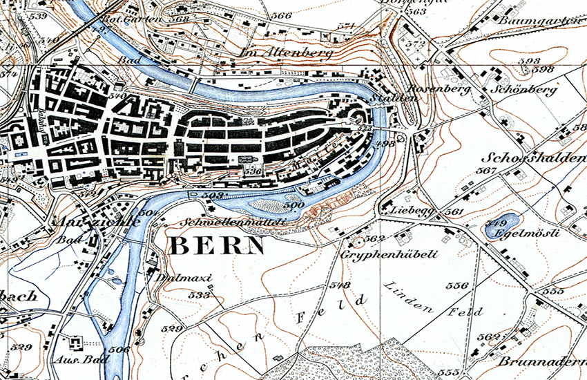
Journey through time - Topographic maps
Since its foundation in 1838 by Guillaume-Henri Dufour, swisstopo has produced three official national map series, the topographical map of Switzerland 1:100’000 (Dufour Map), the topographical atlas 1:25’000 / 1:50’000 (Siegfried Map) and the Swiss National Maps in different scales. The collection of these products constitutes a cultural asset of national significance which qualifies as a kind of «topographical landscape memory of Switzerland». The «journey through time» allows to interactively explore the evolution of the landscape.
Simple
- Alternate title
-
Journey through time - Maps
- Date (Publication)
- 2013-01-14
- Date (Revision)
- 2021-03-16
- Identifier
- ch.swisstopo.zeitreihen
Point of contact
- Topic category
-
- A Imagery base maps earth cover
Extent
Extent
- Description
-
Switzerland
))

- Maintenance and update frequency
- Unknown
- geocat.ch
-
-
national map
-
historic map
-
INSPIRE
-
- GEMET - INSPIRE themes, version 1.0
-
-
Geographical names
-
- geocat.ch
-
-
FSDI Federal Spatial Data Infrastructure
-
- geocat.ch
-
-
topography
-
- GEMET
-
-
map chart
-
- Language
- Deutsch
- Character encoding
- UTF8
- Subtopic Category
- A1 Base Maps, Landscape Models
- Basic Geodata
- true
- Basic Geodata ID
-
49
- Basic Geodata Legal Level
- Federal
- Basic Geodata Type
- Reference Geodata
- Distribution format
-
-
Tagged Image File Format (TIFF)
-
Digital transfer options
- OnLine resource
-
Vorschau map.geo.admin.ch
Preview map.geo.admin.ch
Digital transfer options
- OnLine resource
-
ch.swisstopo.zeitreihen
WMTS-FSDI service, layer "Journey through time - Maps"
Digital transfer options
Digital transfer options
Digital transfer options
Digital transfer options
- OnLine resource
-
RESTful API von geo.admin.ch
RESTful API from geo.admin.ch
- Reference system identifier
- EPSG:21781
Metadata
- Metadata identifier
- 22287cd6-b75b-4caf-9413-aa3f196548b2
- Language
- Deutsch
- Character encoding
- UTF8
- Language
- Français
- Character encoding
- UTF8
- Language
- Italiano
- Character encoding
- UTF8
- Language
- English
- Character encoding
- UTF8
- Language
- Rumantsch
- Character encoding
- UTF8
Point of contact
Type of resource
- Resource scope
- Dataset
- Metadata linkage
-
https://www.geocat.ch/geonetwork/srv/api/records/22287cd6-b75b-4caf-9413-aa3f196548b2
- Date info (Creation)
- 2012-12-04T12:59:30Z
- Date info (Revision)
- 2026-04-13T09:17:56.364366Z
Metadata standard
- Title
-
GM03_2