geocat.ch
Geological Vector Datasets swissGEOCOVER2D Geological lines
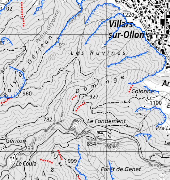
The Geological lines swissGEOCOVER2D datasets represent, in the form of lines, the non-tectonic geological linear structures for the whole of Switzerland, in particular geological boundaries and contacts, lithological marker horizons and moraine ridges. These data, standardised according to the 2D Geological Data Model, are currently being updated (first update for the whole of Switzerland by the end of 2030). The progress of the update can be viewed in the <a href=" https://map.geo.admin.ch/?layers=ch.swisstopo.geologie-geocover.metadata&topic=geol" target="_blank">Division swissGEOCOVER2D</a>, which also contains metadata describing each of the datasets. For updated data, a brief report for each sheet concerned is available via the «Object information» tool in the Geological lines swissGEOCOVER2D layer. All layers can be viewed by following this link: <a href="https://map.geo.admin.ch/#/map?center=2581428.05,1164471.38&z=5.772&topic=geol&layers=ch.swisstopo.geologie-swissgeocover2d_bedrock;ch.swisstopo.geologie-swissgeocover2d_tecto_lines;ch.swisstopo.geologie-swissgeocover2d_unconsolidated;ch.swisstopo.geologie-swissgeocover2d_surfaces;ch.swisstopo.geologie-swissgeocover2d_lines;ch.swisstopo.geologie-swissgeocover2d_points;ch.swisstopo.geologie-geocover.metadata,f&bgLayer=ch.swisstopo.pixelkarte-grau&catalogNodes=15174,1793,1787" target="_blank">swissGEOCOVER2D</a>
Simple
- Alternate title
-
Geological lines swissGEOCOVER2D
- Date (Creation)
- 2026-08-07
- Identifier
- ch.swisstopo.geologie-swissgeocover2d_lines
- Status
- On going
Owner
- Spatial representation type
- Vector
- Topic category
-
- F Geoscientific information
Extent
Extent
- Description
-
Switzerland (extent of the railway network with areas close to the border)
- Geographic identifier
- CH
))

- Maintenance and update frequency
- Quarterly
- geocat.ch
-
-
official geodata
-
opendata.swiss
-
FSDI Federal Spatial Data Infrastructure
-
geologic map
-
confederation
-
- GEMET
-
-
geological process
-
geomorphology
-
tectonics
-
earth science
-
Resource constraints
- Use constraints
- Other restrictions
- Other constraints
- Opendata BY: Open use. Must provide the source.
Associated resource
- Association Type
- Reference to a master resource of which this one is a part
- Metadata Reference
- Language
- Deutsch
- Character encoding
- UTF8
- Language
- Français
- Character encoding
- UTF8
- Subtopic Category
- F1 Geology
- Basic Geodata
- true
- Basic Geodata ID
-
46.9
- Distribution format
-
-
OGC Geopackage (GPKG)
-
ESRI File Geodatabase FileGDB (GDB)
-
INTERLIS
-
Digital transfer options
- OnLine resource
-
Produkt- und Bestellinformationen
Digital transfer options
- OnLine resource
-
Download
Digital transfer options
- OnLine resource
-
viewer.swissgeol.ch
Identifier
- Code
- EPSG:2056
- Description
-
CH1903+ / LV95 (EPSG:2056)
Metadata
- Metadata identifier
- urn:uuid/20558be8-86ba-489a-b87e-501857625bbc
- Language
- Deutsch
- Character encoding
- UTF8
- Language
- Français
- Character encoding
- UTF8
- Language
- Italiano
- Character encoding
- UTF8
- Language
- English
- Character encoding
- UTF8
- Language
- Rumantsch
- Character encoding
- UTF8
Owner
Type of resource
- Resource scope
- Dataset
- Metadata linkage
-
https://geocat-dev.dev.bgdi.ch/geonetwork/srv/api/records/fccadc73-2d1b-4ebd-9938-fb74e6ab80b9
- Date info (Creation)
- 2026-06-19T13:43:26.34678Z
- Date info (Revision)
- 2026-09-02T14:21:53.631445Z
Metadata standard
- Title
-
eCH-0271