geocat.ch
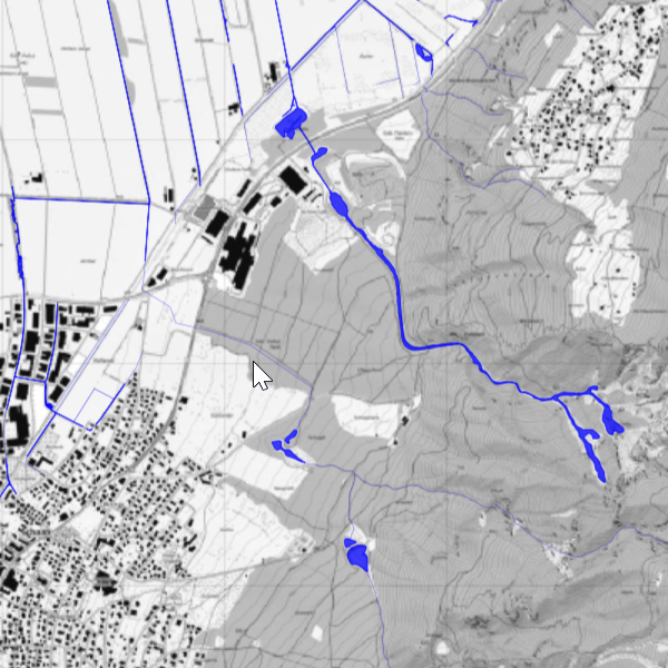
Public water bodies
Water network of public water bodies in the Principality of Liechtenstein. It consists of water axes, water offsets, lake surfaces, and embankment edges. Further information is provided by the Office for the Environment.
Simple
- Date (Publication)
- 2017-02-17
- Identifier
- https://metadata.geo.llv.li/1fad8353-2082-4de1-8e73-98b1f11e116c
- Status
- Obsolete
Owner
- Hours of service
-
8:00-11:30 und 13:30-17:00
Publisher
- Hours of service
-
8:00-11:30 und 13:30-17:00
- Spatial representation type
- Vector
Spatial resolution
Equivalent scale
- Denominator
- 5000
- Topic category
-
- G Biota
Extent
Extent
- Description
-
Liechtenstein
))

- Maintenance and update frequency
- As needed
- geocat.ch
-
-
watercourse
-
standing water
-
- GEMET - INSPIRE themes, version 1.0
-
-
Hydrography
-
- Räumlicher Anwendungsbereich
-
-
National
-
- GEMET
-
-
mapping
-
water (geographic)
-
- Language
- Deutsch
- Character encoding
- UTF8
- Distribution format
-
-
ESRI File Geodatabase FileGDB (GDB)
-
OGC Geopackage (GPKG)
-
Distributor
- Hours of service
-
8:00-11:30 und 13:30-17:00
Digital transfer options
- OnLine resource
-
Webseite der Landesverwaltung
Webseite der Landesverwaltung
- Hierarchy level
- Dataset
Report
Result
- Title
-
VERORDNUNG (EG) Nr. 1089/2010 DER KOMMISSION vom 23. November 2010 zur Durchführung der Richtlinie 2007/2/EG des Europäischen Parlaments und des Rates hinsichtlich der Interoperabilität von Geodatensätzen und -diensten
- Date (Publication)
- 2010-12-08
- Explanation
-
Gemäss INSPIRE Bestandteil des Themas "Bewirtschaftungsgebiete/Schutzgebiete/geregelte Gebiete und Berichterstattungseinheiten"
- Pass
- false
- Statement
-
Digitalisierung
- Hierarchy level
- Dataset
- Geometric object type
- Curve
- Geometric object count
- 1100
- Geometric object type
- Surface
- Geometric object count
- 180
- Reference system identifier
- http://www.opengis.net/def/crs/EPSG/0/2056
- Reference system identifier
- http://www.opengis.net/def/crs/EPSG/0/4936
- Maintenance and update frequency
- As needed
Metadata
- Metadata identifier
- 1fad8353-2082-4de1-8e73-98b1f11e116c
- Language
- Deutsch
- Character encoding
- UTF8
- Language
- Français
- Character encoding
- UTF8
- Language
- Italiano
- Character encoding
- UTF8
- Language
- English
- Character encoding
- UTF8
Publisher
- Hours of service
-
8:00-11:30 und 13:30-17:00
Type of resource
- Resource scope
- Dataset
- Metadata linkage
-
https://www.geocat.ch/geonetwork/srv/api/records/1fad8353-2082-4de1-8e73-98b1f11e116c
- Date info (Creation)
- 2025-11-12T13:39:38.082Z
- Date info (Revision)
- 2026-04-13T09:31:43.939301Z
Metadata standard
- Title
-
eCH-0271