geocat.ch
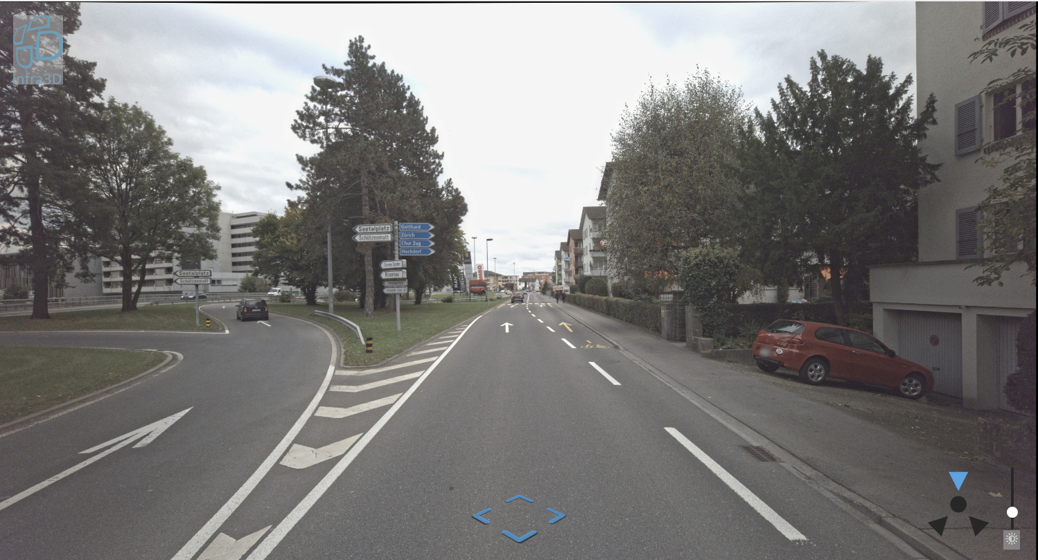
Infra3D Emmen
3D-Punktwolkendaten LIDAR aus Befahrung durch iNovitas, verfügbar ausschliesslich über die Applikation Infra3D
Simple
- Date (Revision)
- 2021-10-30
- Status
- Completed
Point of contact
Owner
- Topic category
-
- P Transportation
Extent
Extent
- Description
-
Emmen
N
S
E
W
))

- Maintenance and update frequency
- Unknown
- geocat.ch
-
-
road
-
Resource constraints
- Access constraints
- Restricted
- Language
- Deutsch
- Character encoding
- UTF8
- Distribution format
-
-
andere Formate auf Anfrage
-
Metadata
- Metadata identifier
- 1cac5f3a-8bc9-4a1c-9d12-c2d3d2c802b0
- Language
- Deutsch
- Character encoding
- UTF8
- Language
- Italiano
- Character encoding
- UTF8
- Language
- English
- Character encoding
- UTF8
- Language
- Français
- Character encoding
- UTF8
Point of contact
Type of resource
- Resource scope
- Dataset
- Metadata linkage
-
https://www.geocat.ch/geonetwork/srv/api/records/1cac5f3a-8bc9-4a1c-9d12-c2d3d2c802b0
- Date info (Creation)
- 2023-08-31T08:24:12.382Z
- Date info (Revision)
- 2026-06-15T08:45:25.286869Z
Metadata standard
- Title
-
eCH-0271