 geocat.ch
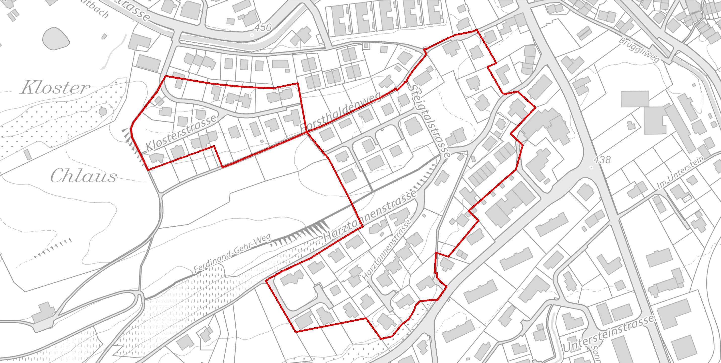
Planungszone, kommunal
Aggregierte kommunale Planungszonen des Kantons St.Gallen
Bestandteil der kommunalen Nutzungsplanung
Simple
- Date (Creation)
- 2021-04-12
- Date (Revision)
- 2026-06-21
- Other citation details
-
Raumplanung, Raumentwicklung
- Purpose
-
Das Datenmodell kommunale Nutzungsplanung mit dem Topic Planungszonen beschreibt die grundeigentümerverbindlichen Festlegungen der Nutzungsplanung auf Gemeindeebene. Für entsprechende Festlegungen auf Stufe Kanton ist ein separates Datenmodell vorgesehen. Dieses weist eine identische Struktur auf, ist jedoch auf kantonale Nutzungsplanungsinstrumente reduziert.
- Status
- Completed
partner
- Hours of service
-
Mo. - Fr. von 8:00 - 17:00 Uhr
- Spatial representation type
- Vector
Extent
Extent
- Description
-
Kanton St.Gallen
))
- Maintenance and update frequency
- Quarterly
- geocat.ch
-
-
Nutzungsplanung
-
Resource constraints
- Access constraints
- Other restrictions
- Other constraints
-
A = öffentlich
Resource constraints
- Classification
- Unclassified
- Language
- Deutsch
- Subtopic Category
- E1 Spatial Planning, Spatial Development
- Distribution format
-
-
ESRI Shapefile
-
INTERLIS
-
andere Formate auf Anfrage
-
Distributor
- Hours of service
-
Mo. - Fr. von 8:00 - 17:00 Uhr
Digital transfer options
- Statement
-
abhängig von Gemeinden
- Hierarchy level
- Dataset
- Reference system identifier
- CH1903+_LV95 / EPSG 2056
Metadata
- Metadata identifier
- 1c1aca1d-fb2d-4fe8-9c21-85752f2cb5b8-8371
- Language
- Deutsch
- Character encoding
- UTF8
Resource provider
- Hours of service
-
Mo. - Fr. von 8:00 - 17:00 Uhr
Type of resource
- Resource scope
- Dataset
- Date info (Revision)
- 2026-06-21T01:15:41+02:00
Metadata standard
- Title
-
GM03 Core
)))
