geocat.ch
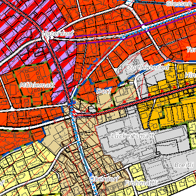
Nutzungsplanung (Buochs, NW)
Der Geobasisdatensatz richtet sich nach dem minimalen Datenmodell. Sie beinhalten Geoinformationen auf kommunaler Ebene.
Simple
- Date (Creation)
- 2010-01-01
- Date (Revision)
- 2025-07-31
- Identifier
- bu_nutzungsplanung
- Status
- On going
Owner
Webseite Bauamt Buochs
- Hours of service
-
Montag - Freitag 08.00 - 12.00 Uhr und 14.00 - 17.00 Uhr vor Feiertagen bis 16.30 Uhr
- Spatial representation type
- Vector
- Topic category
-
- E Planning cadastre
Extent
Extent
- Description
-
Buochs
N
S
E
W
))

- Maintenance and update frequency
- As needed
- GEMET
-
-
federal law
-
land management and planning
-
physical planning
-
regional development
-
- geocat.ch
-
-
land use plan
-
land use planning
-
zoning plan
-
Resource constraints
- Access constraints
- Other restrictions
- Use constraints
- Other restrictions
- Other constraints
- Die Geodaten sind öffentlich zugänglich (Zugangsberechtigungsstufe A gemäss GeoIV Art. 21).
- Language
- Deutsch
- Character encoding
- UTF8
- Environment description
-
Adalin
- Subtopic Category
- E1 Spatial Planning, Spatial Development
- Basic Geodata
- true
- Basic Geodata ID
-
73>A.1
- Basic Geodata Legal Level
- Bund
- Distribution format
-
-
INTERLIS
-
andere Formate auf Anfrage
-
Distributor
Digital transfer options
- OnLine resource
-
Geoshop NW
Datenbezug
Digital transfer options
- OnLine resource
-
npl_nutzungsplanung_v1_2
WMS-Dienst geodienste.ch
Digital transfer options
- OnLine resource
-
Geodienste.ch
Datenbezug
Digital transfer options
- OnLine resource
-
ch.nw.nutzungsplanung
WMS-Dienst Kanton Nidwalden
Digital transfer options
- OnLine resource
-
Geobasisdatenkatalog
Digital transfer options
- OnLine resource
-
Webkarte Nutzungsplanung
Identifier
- Code
- 2056
Metadata
- Metadata identifier
- 1A5F5713-383C-495E-A8B3-46B23A0392BE
- Language
- Deutsch
- Character encoding
- UTF8
- Language
- Français
- Character encoding
- UTF8
- Language
- English
- Character encoding
- UTF8
- Language
- Italiano
- Character encoding
- UTF8
Custodian
Type of resource
- Resource scope
- Dataset
- Date info (Revision)
- 2026-05-12T10:10:46.000Z
Metadata standard
- Title
-
GM03_2