 geocat.ch
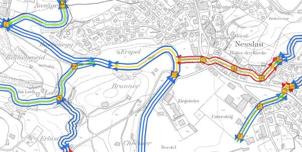
Ökomorphologische Aufnahmen 2013
Ökomorphologische Aufnahmen an Fliessgewässern im Kanton St.Gallen. Bearbeitet wurden Gewässer ausserhalb von Sömmerungsgebieten und Wald.
Die Attributierung der ökomorphologischen Abschnitte umfasst alle Attribute gemäss minimalem Geodatenmodell "Planung der Revitalisierung von Gewässern" des BAFU (MGDM ID 191) sowie im Kanton St.Gallen zusätzlich erhobene Attribute.
Simple
- Date (Creation)
- 2014-05-21
- Date (Revision)
- 2026-06-21
- Other citation details
-
Gewässer
- Purpose
-
Beschreibung des ökologischen Zustandes der Fliessgewässer. Grundlage für die Revitalisierungsplanung.
- Status
- Completed
partner
- Hours of service
-
Mo. - Fr. von 8:00 - 17:00 Uhr
- Spatial representation type
- Vector
Spatial resolution
Equivalent scale
- Denominator
- 10000
- Topic category
-
- I Inland waters
Extent
Extent
- Description
-
Kanton St.Gallen
))
- Maintenance and update frequency
- Not planned
- geocat.ch
-
-
Oekomorphologie
-
Oekomorphologie
-
opendata.swiss
-
Resource constraints
- Access constraints
- Other restrictions
- Other constraints
-
A = öffentlich
Resource constraints
- Classification
- Unclassified
- Language
- Deutsch
- Distribution format
-
-
ESRI Shapefile
-
andere Formate auf Anfrage
-
Distributor
- Hours of service
-
Mo. - Fr. von 8:00 - 17:00 Uhr
Digital transfer options
- Statement
-
Feldaufnahmen mit Begehung aller beurteilten Gewässer. Erhebung in Gewässerabschnitten von in der Regel mindestens 25m Länge.
2010: Aufnahmen für Sitter und Thur.
2012/2013: Aufnahmen für alle übrigen Gewässer.
Erhebungsparameter gemäss Vollzugshilfe "Methoden zur Untersuchung und Beurteilung der Fliessgewässer: Ökomorphologie Stufe F" (BUWAL 1998) und Handbuch Gewässerbaukataster Kanton St.Gallen.
- Hierarchy level
- Dataset
- Reference system identifier
- CH1903+_LV95 / EPSG 2056
Metadata
- Metadata identifier
- 16935cb3-d5fb-4563-a080-78af0d1631f9
- Language
- Deutsch
- Character encoding
- UTF8
Resource provider
- Hours of service
-
Mo. - Fr. von 8:00 - 17:00 Uhr
Type of resource
- Resource scope
- Dataset
- Date info (Revision)
- 2026-06-21T01:15:40+02:00
Metadata standard
- Title
-
GM03 Core
)))
