 geocat.ch
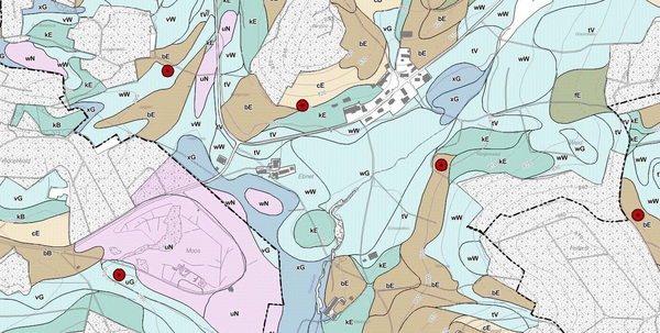
Bodendaten
Geometrie übernommen aus bestehenden analogen Karten. Sachdaten nach Auswertung von zugehörenden Profilaufnahmen.
Kartiert wurden nur landwirtschaftliche Nutzflächen. Ein Viertel des Kantons SG ist kartiert.
Simple
- Date (Creation)
- 2014-01-15
- Date (Revision)
- 2026-06-21
- Other citation details
-
Boden
- Purpose
-
-
- Status
- On going
partner
Amt für Raumentwicklung und Geoinformation - geodaten@sg.ch
Lämmlisbrunnenstrasse 54
St. Gallen
9001
CH
Homepage
- Hours of service
-
Mo. - Fr. von 8:00 - 17:00 Uhr
- Spatial representation type
- Vector
Spatial resolution
Equivalent scale
- Denominator
- 5000
Spatial resolution
- Spatial resolution
- 25 m
Extent
Extent
- Description
-
Kanton St.Gallen
N
S
E
W
))
- Maintenance and update frequency
- Irregular
- GEMET
-
-
Bodenkarte
-
- geocat.ch
-
-
opendata.swiss
-
Resource constraints
- Access constraints
- Other restrictions
- Other constraints
-
A = öffentlich
Resource constraints
- Classification
- Unclassified
- Language
- Deutsch
- Subtopic Category
- F2 Soils
- Distribution format
-
-
ESRI Shapefile
-
andere Formate auf Anfrage
-
Distributor
Amt für Raumentwicklung und Geoinformation - geodaten@sg.ch
Lämmlisbrunnenstrasse 54
St. Gallen
9001
CH
Homepage
- Hours of service
-
Mo. - Fr. von 8:00 - 17:00 Uhr
- Statement
-
1960 - 1995, ab 2013 weitere Erhebungen
- Hierarchy level
- Dataset
- Reference system identifier
- CH1903+_LV95 / EPSG 2056
Metadata
- Metadata identifier
- 134dad37-8e26-4f15-86b0-b3de02c35268-8371
- Language
- Deutsch
- Character encoding
- UTF8
Resource provider
Amt für Raumentwicklung und Geoinformation - geodaten@sg.ch
Lämmlisbrunnenstrasse 54
St. Gallen
9001
CH
Homepage
- Hours of service
-
Mo. - Fr. von 8:00 - 17:00 Uhr
Type of resource
- Resource scope
- Dataset
- Date info (Revision)
- 2026-06-21T01:15:36+02:00
Metadata standard
- Title
-
GM03 Core
)))
