 geocat.ch
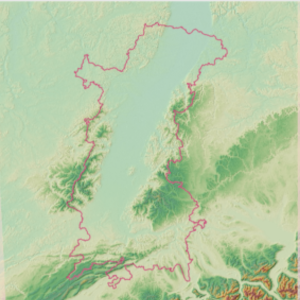
Relief - Digital Elevation Model (DEM) of the Upper Rhine
This data describes the relief through an image made of pixels measuring 25x25m. This digital terrain model provides, for each pixel, an altitude value. The data comes from a clipping over the Upper Rhine region of the product provided by the Copernicus Land Monitoring Service (CLMS).
Simple
- Alternate title
-
DEM
- Date (Creation)
- 2021-11-10
- Date (Publication)
- 2021-12-14
- Identifier
- mnt_dgm
- Status
- Completed
Point of contact
- mri:deliveryPoint
-
100, avenue d'Alsace
- mri:city
-
COLMAR
- mri:postalCode
-
68000
- Country
-
FRANCE
- mri:electronicMailAddress
-
GeoRhena
- Spatial representation type
- Vector
Spatial resolution
Equivalent scale
- Denominator
- 5000
- Topic category
-
- C Elevation
- A Imagery base maps earth cover
Extent
Extent
Temporal extent
- Time period
- 2011-01-01 2011-12-31
Extent
Extent
))
- Maintenance and update frequency
- Not planned
- Keywords
-
-
Open-Data
-
Relief
-
- Keywords
-
-
Upper Rhine
-
- GEMET - Concepts, version 2.4
-
-
altitude
-
relief (land)
-
Resource constraints
- Use limitation
-
Licence CC BY - © European Union, Copernicus Land Monitoring Service 2018, European Environment Agency (EEA)
Resource constraints
- Access constraints
- Other restrictions
- Use constraints
- Other restrictions
- Other constraints
-
No other limitation
- Language
- Français
- Character encoding
- UTF8
- Distribution format
-
-
TIF GeoData
-
Digital transfer options
- OnLine resource
-
mnt_dem
Modèle numérique de terrain / Digitales Geländemodell
Digital transfer options
- OnLine resource
-
Copernicus programme website
Information on source data
- Statement
-
Trimming performed on the EU-DEM v1.1 product (Copernicus programme)
- Hierarchy level
- Dataset
Metadata
- Metadata identifier
- 0dfbcf14-2f1e-4a2d-b186-6c532a00f9f2
- Language
- Français
- Character encoding
- UTF8
- Language
- Deutsch
- Character encoding
- UTF8
- Language
- English
- Character encoding
- UTF8
Contact
- mdb:deliveryPoint
-
100, avenue d'Alsace
- mdb:city
-
COLMAR
- mdb:postalCode
-
68000
- mdb:country
-
FR
Type of resource
- Resource scope
- Dataset
- Date info (Revision)
- 2025-06-18T15:08:38.601463Z
Metadata standard
- Title
-
ISO 19115-3:2018
- Edition
-
1.0
)))