 geocat.ch
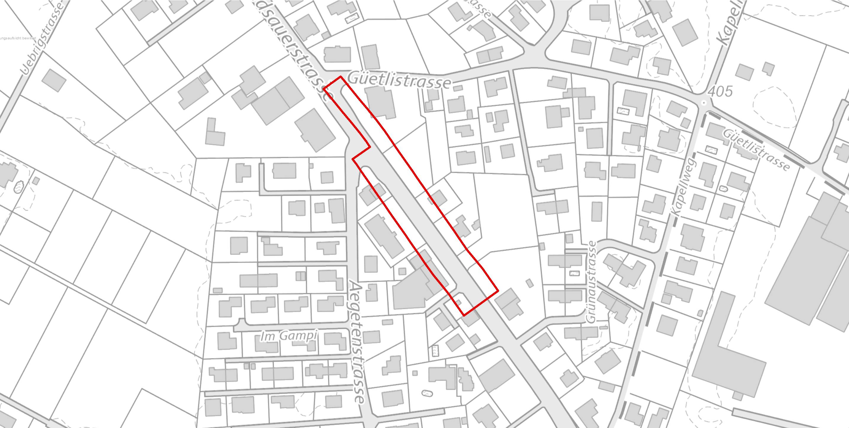
Planungszone, kantonal
kantonale Planungszonen des Kantons St.Gallen
Es beschreibt die nach PBG Art. 43b) durch eine kantonale Behörde erlassenen Planungszonen.
Bestandteil der kantonalen Nutzungsplanung
Simple
- Date (Creation)
- 2021-04-12
- Date (Revision)
- 2026-06-21
- Other citation details
-
Raumplanung, Raumentwicklung
- Purpose
-
Das Modell wird in erster Linie als Publikationsmodell für die Bereitstellung von Geodaten in Zuständigkeit des Kantons zur Nutzung durch Dritte verwendet. Die Publikation erfolgt unter anderem über das kantonale Geoportal und künftig im ÖREB-Kataster.
- Status
- Completed
partner
Amt für Raumentwicklung und Geoinformation - geodaten@sg.ch
Lämmlisbrunnenstrasse 54
St. Gallen
9001
CH
Homepage
- Hours of service
-
Mo. - Fr. von 8:00 - 17:00 Uhr
- Spatial representation type
- Vector
Extent
Extent
- Description
-
Kanton St.Gallen
N
S
E
W
))
- Maintenance and update frequency
- Quarterly
- geocat.ch
-
-
Nutzungsplanung
-
Resource constraints
- Access constraints
- Other restrictions
- Other constraints
-
A = öffentlich
Resource constraints
- Classification
- Unclassified
- Language
- Deutsch
- Subtopic Category
- E1 Spatial Planning, Spatial Development
- Distribution format
-
-
ESRI Shapefile
-
andere Formate auf Anfrage
-
Distributor
Amt für Raumentwicklung und Geoinformation - geodaten@sg.ch
Lämmlisbrunnenstrasse 54
St. Gallen
9001
CH
Homepage
- Hours of service
-
Mo. - Fr. von 8:00 - 17:00 Uhr
Digital transfer options
- Reference system identifier
- CH1903+_LV95 / EPSG 2056
Metadata
- Metadata identifier
- 0bc0a60a-87b3-461e-97e0-de6e2181e271-8371
- Language
- Deutsch
- Character encoding
- UTF8
Resource provider
Amt für Raumentwicklung und Geoinformation - geodaten@sg.ch
Lämmlisbrunnenstrasse 54
St. Gallen
9001
CH
Homepage
- Hours of service
-
Mo. - Fr. von 8:00 - 17:00 Uhr
Type of resource
- Resource scope
- Dataset
- Date info (Revision)
- 2026-06-21T01:15:36+02:00
Metadata standard
- Title
-
GM03 Core
)))
