geocat.ch
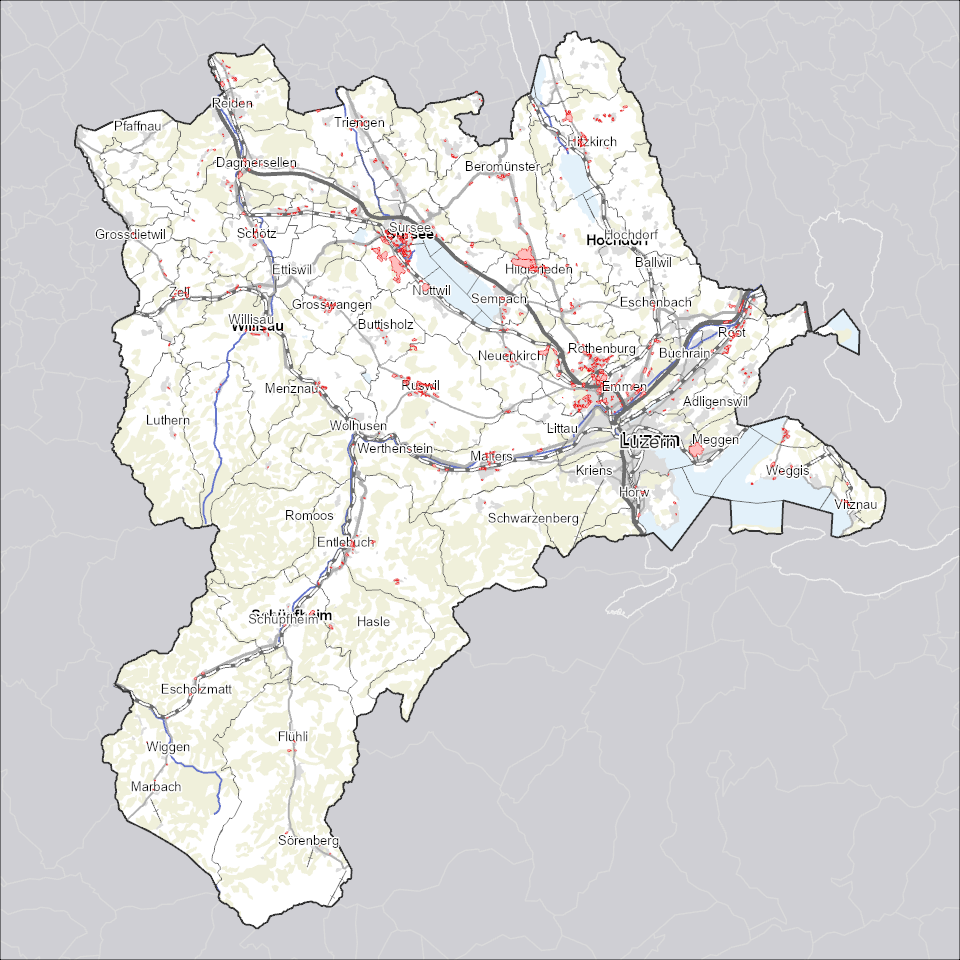
Gestaltungspläne: Geltungsbereiche
Geltungsbereiche (Perimeter) von Gestaltungsplänen, welche eine siedlungsgerechte, architektonisch und erschliessungstechnisch gute Überbauung eines zusammenhängenden Gebietes sicherstellen.
Simple
Informazioni di identificazione
- Titolo alternativo
-
GEPLPERI_DS
- Data (Creazione)
- 2025-12-21
- Formato di presentazione
- Mappa digitale
- Finalità
-
Grundeigentümerverbindliche Gestaltungspläne bezwecken eine siedlungsgerechte, architektonisch und erschliessungstechnisch gute, der Umgebung angepasste Überbauung eines zusammenhängenden Gebietes. Gestaltungspläne sind das Planungsinstrument der Privaten und liegen in der Kompetenz der Gemeinde. Diese Daten enthalten nur die Perimeter (Geltungsbereiche) der Gestaltungspläne. Die eigentlichen Pläne sind als Dokumente verknüpft.Diese Daten werden gemäss "Richtlinien Datenaustausch Gestaltungsplan" (www.raumdatenpool.ch) erstellt.
- Status
- In corso
Punto di contatto
Servizio responsabile
- Nome dell'ente
-
Kanton Luzern, Abteilung Geoinformation
- Telefono
-
041 228 51 83
Indirizzo
- Risorsa online
- https://geoportal.lu.ch/ ( https )
- Ruolo
- Publisher
Punto di contatto
Servizio responsabile
- Nome dell'ente
-
Raumdatenpool Kanton Luzern
Indirizzo
- Città
-
Luzern
- Codice postale
-
6002
- Nazione
-
CH
- Via
-
Murbacherstrasse
- Numero
-
21
- Ruolo
- Owner
- Cognome
-
Raumdatenpool Kanton Luzern
- Abbreviazione dell'organizzazione
-
RDP
- Frequenza di aggiornamento
- Continuo
-
geocat.ch
-
-
opendata.swiss
-
Eigentumsbeschränkung/ÖREB
-
Nutzungsplanung
-
Raumplanung
-
Sondernutzungsplanung
-
- Vincoli di accesso
- none
- Vincoli di fruibilità
- Proprietà intellettuale dei dati
- Limitazione d’uso
-
öffentlich zugängliche Geobasisdaten
- Vincoli di accesso
- none
- Vincoli di fruibilità
- none
- Limitazione d’uso
-
Freie Nutzung. Quellenangabe ist Pflicht
- Identificatore aggregato del dataset
- e74766d2-6d07-45dc-b87b-09c295dd24d4
- Tipo di associazione
- Larger work citation
- Identificatore aggregato del dataset
- de753132-f8a7-4a4d-a652-65946f1263b0
- Tipo di associazione
- Larger work citation
- Identificatore aggregato del dataset
- b2bff274-9579-48a7-b7ea-bbc075101618
- Tipo di associazione
- Larger work citation
- Identificatore aggregato del dataset
- bb1668d9-b78f-42ee-8b45-f465cd324a5d
- Tipo di associazione
- Larger work citation
- Identificatore aggregato del dataset
- 54185867-d324-444e-b2f7-d95e597ccc47
- Tipo di associazione
- Larger work citation
- Identificatore aggregato del dataset
- ff397148-97d0-487f-9f9c-2c457ed25b55
- Tipo di associazione
- Larger work citation
- Identificatore aggregato del dataset
- 27eecdb2-85f3-4e01-8139-511808d2f251
- Tipo di associazione
- Larger work citation
- Identificatore aggregato del dataset
- 9c5975db-6808-4cc1-ad69-c2e02fb51199
- Tipo di associazione
- Larger work citation
- Identificatore aggregato del dataset
- eb3b82b1-93d6-4bdb-9a83-5eab36266e9e
- Tipo di associazione
- Larger work citation
- Identificatore aggregato del dataset
- a0610b38-3a85-4f3a-a423-88d10b97e197
- Tipo di associazione
- Larger work citation
- Identificatore aggregato del dataset
- d15fb7b2-bc57-442b-b1cf-731650752f3f
- Tipo di associazione
- Larger work citation
- Identificatore aggregato del dataset
- ab16e834-933d-41d8-a632-d1608e3fda25
- Tipo di associazione
- Larger work citation
- Identificatore aggregato del dataset
- 59268a80-a4a0-4c2d-aa80-3fde19dee386
- Tipo di associazione
- Larger work citation
- Tipo di rappresentazione spaziale
- Dati vettoriali
- Denominatore
- 500
- Lingua dei metadati
- Deutsch
- Set dei caratteri dei metadati
- UTF8
- Tema
-
- E Pianificazione territoriale, catasto fondiario
- E1 Pianificazione e sviluppo territoriale
- Descrizione
-
Kanton Luzern
))
- Formato di distribuzione
-
-
ESRI Geodatabase (.gdb)
(
)
-
ESRI Shapefile (.shp)
(
)
-
OGC GeoPackage (.gpkg)
(
)
-
INTERLIS (.itf/.xtf)
(
)
-
ESRI Geodatabase (.gdb)
(
)
Distributore
Servizio responsabile
- Nome dell'ente
-
Dienststelle Raum und Wirtschaft (rawi)
- Telefono
-
041 228 51 83
Indirizzo
- Risorsa online
- https://geoportal.lu.ch ( https )
- Ruolo
- Point of contact
- Nome
-
Geodaten
- Cognome
-
Kanton Luzern
- Abbreviazione dell'organizzazione
-
rawi
- Risorsa online
-
Datenshop
(
https
)
Produktansicht Geodatenshop
- Livello
- Set di dati
- Genealogia del dato – Processo di produzione
-
Grundlagen: Daten der amtlichen Vermessung (AV)
- Oggetto di tipo geometrico
- polygon
- Identificatore del sistema di riferimento
- CH1903+
Informazioni sul contenuto
- Lingua dei metadati
-
ger
- Included with dataset
- Data (Pubblicazione)
- 2017-06-19
Classe
- Designazione
-
Flächen
- Descrizione
-
Gestaltungspläne: Perimeter
Attributo
- Nome
-
GEMEINDE
- Descrizione
-
Gemeinde
Attributo
- Nome
-
PLAN_NAME
- Descrizione
-
Plan Name
Attributo
- Nome
-
DOKUMENT
- Descrizione
-
Das Attribut Dokument bezeichnet den Namen des zip-Files der Dokumente des Gestaltungsplanes.
Attributo
- Nome
-
HERKUNFT
- Descrizione
-
Das Attribut 'Herkunft_Grundlage' gibt Auskunft, auf welcher Grundlage der amtlichen Vermessung der Gestaltungsungsplan erfasst wurden.
Attributo
- Nome
-
BEZUGSRAHMEN
- Descrizione
-
Bezugsrahmen
Attributo
- Nome
-
BEWILLIGUNGS_DATUM
- Descrizione
-
Bewilligungs Datum
Attributo
- Nome
-
BEWILLIGUNGS_NR
- Descrizione
-
Bewilligungs Nr
Attributo
- Nome
-
BEMERKUNGEN
- Descrizione
-
Bemerkungen
Attributo
- Nome
-
OBJECTID
- Descrizione
-
OBJECTID
Attributo
- Nome
-
SHAPE
- Descrizione
-
SHAPE
Attributo
- Nome
-
SHAPE.AREA
- Descrizione
-
SHAPE.AREA
Attributo
- Nome
-
SHAPE.LEN
- Descrizione
-
SHAPE.LEN
- Genere del modello
- Descrizione di oggetto
Metadata
- Lingua dei metadati
- Deutsch
- Set dei caratteri dei metadati
- UTF8
- Livello gerarchico
- Set di dati
- Data dei metadati
- 2025-12-13
- Nome dello Standard dei metadati
-
GM03 2+
Contatto
Servizio responsabile
- Nome dell'ente
-
Raumdatenpool Kanton Luzern
Indirizzo
- Città
-
Luzern
- Codice postale
-
6002
- Nazione
-
CH
- Via
-
Murbacherstrasse
- Numero
-
21
- Ruolo
- Point of contact
- Nome
-
Dominic
- Cognome
-
Kottmann
- Abbreviazione dell'organizzazione
-
RDP
- Frequenza di aggiornamento
- Non pianificato