geocat.ch
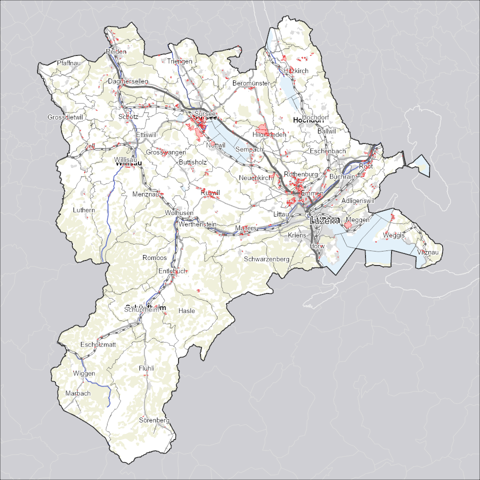
Gestaltungspläne: Geltungsbereiche
Geltungsbereiche (Perimeter) von Gestaltungsplänen, welche eine siedlungsgerechte, architektonisch und erschliessungstechnisch gute Überbauung eines zusammenhängenden Gebietes sicherstellen.
Simple
Identification info
- Alternate title
-
GEPLPERI_DS
- Date (Creation)
- 2025-12-21
- Presentation form
- Digital map
- Purpose
-
Grundeigentümerverbindliche Gestaltungspläne bezwecken eine siedlungsgerechte, architektonisch und erschliessungstechnisch gute, der Umgebung angepasste Überbauung eines zusammenhängenden Gebietes. Gestaltungspläne sind das Planungsinstrument der Privaten und liegen in der Kompetenz der Gemeinde. Diese Daten enthalten nur die Perimeter (Geltungsbereiche) der Gestaltungspläne. Die eigentlichen Pläne sind als Dokumente verknüpft.Diese Daten werden gemäss "Richtlinien Datenaustausch Gestaltungsplan" (www.raumdatenpool.ch) erstellt.
- Status
- On going
Point of contact
Responsible party
- Organisation name
-
Kanton Luzern, Abteilung Geoinformation
- Voice
-
041 228 51 83
Address
- City
-
Luzern
- Postal code
-
6002
- Country
-
CH
- Electronic mail address
- Streetname
-
Murbacherstrasse
- Streetnumber
-
21
- Website
- https://geoportal.lu.ch/ ( https )
- Role
- Publisher
Point of contact
Responsible party
- Organisation name
-
Raumdatenpool Kanton Luzern
Address
- City
-
Luzern
- Postal code
-
6002
- Country
-
CH
- Electronic mail address
- Streetname
-
Murbacherstrasse
- Streetnumber
-
21
- Role
- Owner
- Last Name
-
Raumdatenpool Kanton Luzern
- Organisation Acronym
-
RDP
- Maintenance and update frequency
- Continual
-
geocat.ch
-
-
opendata.swiss
-
Eigentumsbeschränkung/ÖREB
-
Nutzungsplanung
-
Raumplanung
-
Sondernutzungsplanung
-
- Access constraints
- none
- Use constraints
- Copyright
- Use limitation
-
öffentlich zugängliche Geobasisdaten
- Access constraints
- none
- Use constraints
- none
- Use limitation
-
Freie Nutzung. Quellenangabe ist Pflicht
- Aggregate Datasetindentifier
- e74766d2-6d07-45dc-b87b-09c295dd24d4
- Association Type
- Larger work citation
- Aggregate Datasetindentifier
- de753132-f8a7-4a4d-a652-65946f1263b0
- Association Type
- Larger work citation
- Aggregate Datasetindentifier
- b2bff274-9579-48a7-b7ea-bbc075101618
- Association Type
- Larger work citation
- Aggregate Datasetindentifier
- bb1668d9-b78f-42ee-8b45-f465cd324a5d
- Association Type
- Larger work citation
- Aggregate Datasetindentifier
- 54185867-d324-444e-b2f7-d95e597ccc47
- Association Type
- Larger work citation
- Aggregate Datasetindentifier
- ff397148-97d0-487f-9f9c-2c457ed25b55
- Association Type
- Larger work citation
- Aggregate Datasetindentifier
- 27eecdb2-85f3-4e01-8139-511808d2f251
- Association Type
- Larger work citation
- Aggregate Datasetindentifier
- 9c5975db-6808-4cc1-ad69-c2e02fb51199
- Association Type
- Larger work citation
- Aggregate Datasetindentifier
- eb3b82b1-93d6-4bdb-9a83-5eab36266e9e
- Association Type
- Larger work citation
- Aggregate Datasetindentifier
- a0610b38-3a85-4f3a-a423-88d10b97e197
- Association Type
- Larger work citation
- Aggregate Datasetindentifier
- d15fb7b2-bc57-442b-b1cf-731650752f3f
- Association Type
- Larger work citation
- Aggregate Datasetindentifier
- ab16e834-933d-41d8-a632-d1608e3fda25
- Association Type
- Larger work citation
- Aggregate Datasetindentifier
- 59268a80-a4a0-4c2d-aa80-3fde19dee386
- Association Type
- Larger work citation
- Spatial representation type
- Vector
- Denominator
- 500
- Language
- Deutsch
- Character set
- UTF8
- Topic category
-
- E Spatial Planning, Cadastre
- E1 Spatial Planning, Spatial Development
- Description
-
Kanton Luzern
))
- Distribution format
-
-
ESRI Geodatabase (.gdb)
(
)
-
ESRI Shapefile (.shp)
(
)
-
OGC GeoPackage (.gpkg)
(
)
-
INTERLIS (.itf/.xtf)
(
)
-
ESRI Geodatabase (.gdb)
(
)
Distributor contact
Responsible party
- Organisation name
-
Dienststelle Raum und Wirtschaft (rawi)
- Voice
-
041 228 51 83
Address
- City
-
Luzern
- Postal code
-
6002
- Country
-
CH
- Electronic mail address
- Streetname
-
Murbacherstrasse
- Streetnumber
-
21
- Website
- https://geoportal.lu.ch ( https )
- Role
- Point of contact
- First Name
-
Geodaten
- Last Name
-
Kanton Luzern
- Organisation Acronym
-
rawi
- OnLine resource
-
Datenshop
(
https
)
Produktansicht Geodatenshop
- Hierarchy level
- Dataset
- Statement
-
Grundlagen: Daten der amtlichen Vermessung (AV)
- Geometric object type
- polygon
- Reference system identifier
- CH1903+
Content Information
- Metadata language
-
ger
- Included with dataset
- Date (Publication)
- 2017-06-19
Class
- Name
-
Flächen
- Description
-
Gestaltungspläne: Perimeter
Attribute
- Name
-
GEMEINDE
- Description
-
Gemeinde
Attribute
- Name
-
PLAN_NAME
- Description
-
Plan Name
Attribute
- Name
-
DOKUMENT
- Description
-
Das Attribut Dokument bezeichnet den Namen des zip-Files der Dokumente des Gestaltungsplanes.
Attribute
- Name
-
HERKUNFT
- Description
-
Das Attribut 'Herkunft_Grundlage' gibt Auskunft, auf welcher Grundlage der amtlichen Vermessung der Gestaltungsungsplan erfasst wurden.
Attribute
- Name
-
BEZUGSRAHMEN
- Description
-
Bezugsrahmen
Attribute
- Name
-
BEWILLIGUNGS_DATUM
- Description
-
Bewilligungs Datum
Attribute
- Name
-
BEWILLIGUNGS_NR
- Description
-
Bewilligungs Nr
Attribute
- Name
-
BEMERKUNGEN
- Description
-
Bemerkungen
Attribute
- Name
-
OBJECTID
- Description
-
OBJECTID
Attribute
- Name
-
SHAPE
- Description
-
SHAPE
Attribute
- Name
-
SHAPE.AREA
- Description
-
SHAPE.AREA
Attribute
- Name
-
SHAPE.LEN
- Description
-
SHAPE.LEN
- Model type
- Feature description
Metadata
- Metadata language
- Deutsch
- Character set
- UTF8
- Hierarchy level
- Dataset
- Date stamp
- 2025-12-13
- Metadata standard name
-
GM03 2+
Metadata author
Responsible party
- Organisation name
-
Raumdatenpool Kanton Luzern
Address
- City
-
Luzern
- Postal code
-
6002
- Country
-
CH
- Electronic mail address
- Streetname
-
Murbacherstrasse
- Streetnumber
-
21
- Role
- Point of contact
- First Name
-
Dominic
- Last Name
-
Kottmann
- Organisation Acronym
-
RDP
- Maintenance and update frequency
- Not planned