geocat.ch
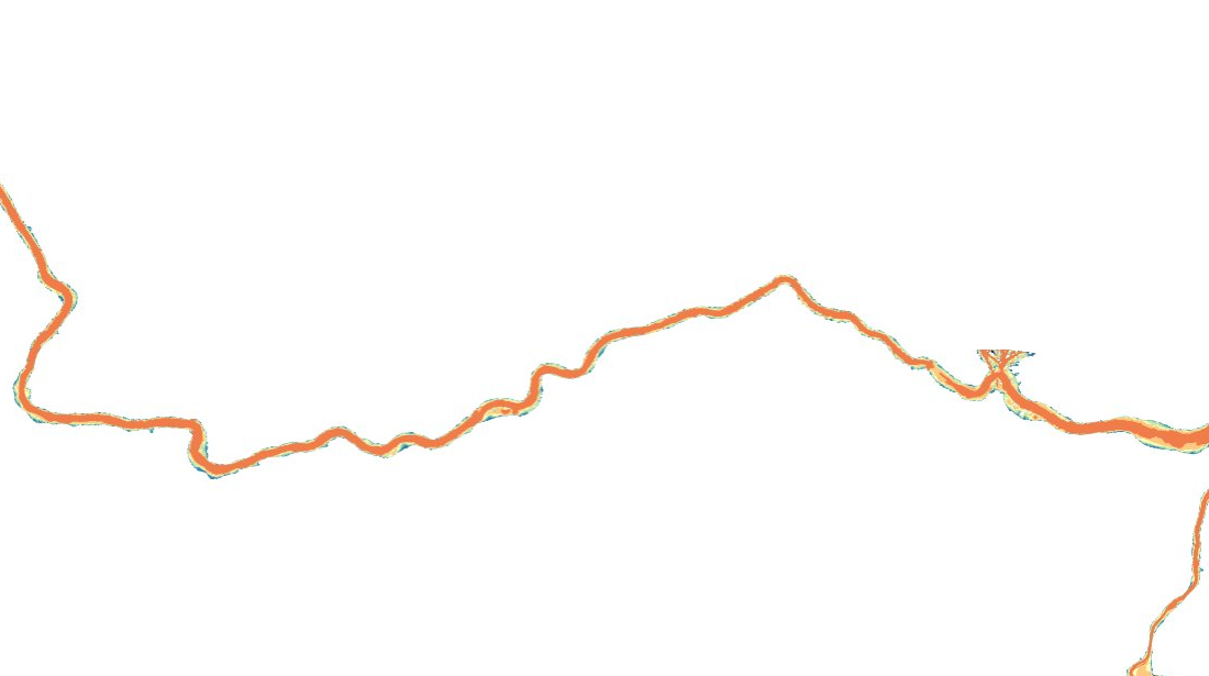
Überflutungskarte Sihlsee (ZG)
Simulation der Überflutungshöhe, Fliessgeschwindigkeit und Ausdehnung im Kanton Zug.
Simple
- Date (Creation)
- 2025-10-30
Owner
- Topic category
-
- R Intelligence military
Extent
Extent
- Description
-
Canton of Zug (ZG)
N
S
E
W
))

- Maintenance and update frequency
- Unknown
- GEMET
-
-
storage dam
-
flood
-
civilian protection
-
flooding
-
flood protection
-
danger analysis
-
flood forecast
-
- Language
- Deutsch
- Character encoding
- UTF8
Metadata
- Metadata identifier
- 08ddeb12-d955-47df-9e8f-441c38928210
- Language
- Deutsch
- Character encoding
- UTF8
- Language
- Français
- Character encoding
- UTF8
- Language
- English
- Character encoding
- UTF8
- Language
- Italiano
- Character encoding
- UTF8
Point of contact
Type of resource
- Resource scope
- Dataset
- Metadata linkage
-
https://www.geocat.ch/geonetwork/srv/api/records/08ddeb12-d955-47df-9e8f-441c38928210
- Date info (Creation)
- 2025-10-30T12:09:11.661Z
- Date info (Revision)
- 2026-06-16T09:44:51.777467Z
Metadata standard
- Title
-
eCH-0271