geocat.ch
Generalized administrative boundaries K4
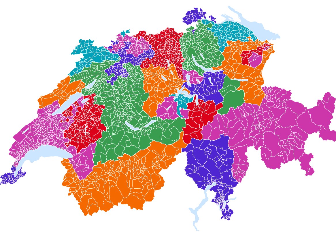
The «Generalized administrative boundaries K4» dataset from the Federal Statistical Office provides simplified geometries for all Swiss administrative units since 1850 and is updated annually. This dataset is well suited for the production of a wide range of thematic maps at small scales (approximately 1:500’000 and smaller), enabling the visualization of statistical data for municipalities, districts, and cantons. Geographic attributes, including area and altitude, further enrich the dataset.
Simple
- Alternate title
-
Boundaries K4 since 1850
- Date (Creation)
- 2025-02-14T08:30:00
- Identifier
- ch.bfs.generalisierte_administrative_grenzen_k4
- Purpose
-
Réalisation de cartes thématiques de la Suisse à grande échelle.
- Status
- On going
Point of contact
- Spatial representation type
- Vector
- Topic category
-
- D Boundaries
Extent
Extent
- Description
-
Switzerland
))

- Maintenance and update frequency
- Annually
- Duration of Conservation
- 100
- Appraisal of Archival Value
- A
- Reason for Archiving Value
- Developments progression
Resource format
- Title
-
ESRI Shapefile (SHP)
- Date
Resource format
- Title
-
OGC Geopackage (GPKG)
- Date
Resource format
- Title
-
GeoJSON (GEOJSON)
- Date
- GEMET
-
-
lake
-
national boundary
-
sub-national boundary
-
municipality
-
administrative boundary
-
- geocat.ch
-
-
political boundary
-
district
-
canton
-
FSDI Federal Spatial Data Infrastructure
-
national border
-
cartographic generalisation
-
Resource constraints
Associated resource
- Association Type
- Resource is a description of associated resource
- Metadata Reference
- Language
- Deutsch
- Character encoding
- UTF8
- Language
- Français
- Character encoding
- UTF8
- Distribution format
-
-
OGC Geopackage (GPKG)
-
ESRI Shapefile (SHP)
-
GeoJSON (GEOJSON)
-
Digital transfer options
- OnLine resource
-
Geodaten
Download of the generalized boundaries of the administrative units K4 of Switzerland since 1850
Digital transfer options
- OnLine resource
-
Datenbeschreibung
Geodata description of the generalized boundaries of the administrative units of Switzerland
Digital transfer options
- OnLine resource
-
Variablenliste
Digital transfer options
- OnLine resource
-
GEOSTAT
GEOSTAT ist das BFS-Kompetenzzentrum für Geoinformation und digitale Bildverarbeitung.
- Reference system identifier
- EPSG: 2056 | EPSG: 4326
- Maintenance and update frequency
- Annually
Metadata
- Metadata identifier
- 0759a81f-3020-41b3-a1e3-db43998380d9
- Language
- Deutsch
- Character encoding
- UTF8
- Language
- Français
- Character encoding
- UTF8
- Language
- Italiano
- Character encoding
- UTF8
- Language
- English
- Character encoding
- UTF8
- Language
- Rumantsch
- Character encoding
- UTF8
Point of contact
Type of resource
- Resource scope
- Dataset
- Metadata linkage
-
https://www.geocat.ch/geonetwork/srv/api/records/0759a81f-3020-41b3-a1e3-db43998380d9
- Date info (Creation)
- 2023-11-02T16:14:57.45Z
- Date info (Revision)
- 2026-06-08T06:13:56.113135Z
Metadata standard
- Title
-
ISO 19115-3