geocat.ch
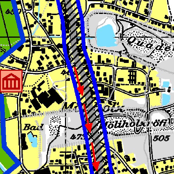
Landesrichtplan 1:25'000
Der Landesrichtplan bildet den Orientierungsrahmen, der die wesentlichen Interessen und Vorgaben des Landes im Bereich der Raumordnung aufzeigt. Er dient als Grundlage für eine positive und nachhaltige Entwicklung des Lebens- und Wirtschaftsraumes Liechtenstein.
Der Landesrichtplan besteht aus Richtplankarte und Richtplanbericht und gliedert sich in die vier Sachbereiche Siedlung, Landwirtschaft, Natur- und Landschaft, Verkehr sowie Ver- und Entsorgung. Er wurde nach einer mehrjährigen Erarbeitungsphase durch die Projektleitungsgruppe an Informationsveranstaltungen erläutert und nach der Vernehmlassung im Juli 2007 von der Regierung verabschiedet.
Semplice
- Data (Creazione)
- 2011-03-30
- Identificatore
- https://metadata.geo.llv.li/06c45d2e-5527-4c1e-821f-cbd0daa1d8a1
- Scopo
-
Richtplanung, Landesplanung
- Stato
- Completato
Punto di contatto
- Orario di servizio
-
8:00-11:30 und 13:30-17:00
- Tipo di rappresentazione spaziale
- Raster
Risoluzione spaziale
- Distanza di risoluzione
- 0.125 m
- Categoria ISO
-
- E Catasto urbanistico
Estensione
Estensione
- Descrizione
-
Liechtenstein
))

- Frequenza di aggiornamento
- Non pianificato
Formato della risorsa
- Titolo
-
GeoTIFF (GEOTIFF)
- Data
- GEMET - INSPIRE themes, version 1.0
-
-
Reti di trasporto
-
Zone sottoposte a gestione/limitazioni/regolamentazione e unità con obbligo di comunicare dati
-
- geocat.ch
-
-
pianificazione direttrice
-
piano direttore
-
- Räumlicher Anwendungsbereich
-
-
Nazionali
-
Vincoli sulle risorse
- Vincoli di accesso
- Altre restrizioni
- Altri vincoli
- no limitations to public access
- Paese
- LI
- Tipo di legislazione
- Ordinanza
- Livello della disposizione legale
- national
- Titolo
-
Verordnung vom 30. August 2011 über die Gebühren für die Nutzung der Geodateninfrastruktur Liechtenstein
- Altri nomi o acronimi
-
GDI-Gebührenverordnung (GDI-GebV)
- Data (Creazione)
- 2010-12-08
Vincoli sulle risorse
- Limitazione d'uso
-
Zugangs- und Nutzungsbedingungen
- Vincoli d'uso
- Altre restrizioni
- Altri vincoli
-
gebührenpflichtig
- Lingua
- Deutsch
- Codifica dei caratteri
- UTF8
- Descrizione dell'ambiente di lavoro
-
CAD Zechnung
- Categoria di sottotema
- E1 Pianificazione territoriale, sviluppo territoriale
- Descrizione dell'attributo
- RGB-Farbwert
- Formato (codifica)
-
-
GeoTIFF (GEOTIFF)
-
Punto di contatto
- Orario di servizio
-
8:00-11:30 und 13:30-17:00
- Tasse
-
Bereitstellungsgebühr CHF 60.50 pro 30 Min.
- Livello
- Set di dati
Rapporto sulla qualità
Risultato
- Titolo
-
VERORDNUNG (EG) Nr. 1089/2010 DER KOMMISSION vom 23. November 2010 zur Durchführung der Richtlinie 2007/2/EG des Europäischen Parlaments und des Rates hinsichtlich der Interoperabilität von Geodatensätzen und -diensten
- Data (Pubblicazione)
- 2010-12-08
- Spiegazione
-
nicht überprüft
- Grado di conformità
- false
- Informazioni generali sulla provenienza
-
CAD Bearbeitung auf er Grundlage der Pixelkarte 1:25'000
- Livello
- Set di dati
- Descrizione
-
Pixelkarte, GDI
- Numero di dimensioni
- 2
- Geometria della cella
- Area
- Disponibilità dei parametri di trasformazione
- 1
- Nome del sistema di riferimento
- http://www.opengis.net/def/crs/EPSG/0/2056
- Frequenza di aggiornamento
- Secondo necessità
Metadati
- Identificativo della scheda
- 06c45d2e-5527-4c1e-821f-cbd0daa1d8a1
- Lingua
- Deutsch
- Codifica dei caratteri
- UTF8
- Lingua
- Français
- Codifica dei caratteri
- UTF8
- Lingua
- Italiano
- Codifica dei caratteri
- UTF8
- Lingua
- English
- Codifica dei caratteri
- UTF8
Punto di contatto
- Orario di servizio
-
8:00-11:30 und 13:30-17:00
Tipo di risorsa
- Ambito di applicazione della risorsa
- Set di dati
- Collegamento ai metadati
-
https://www.geocat.ch/geonetwork/srv/api/records/06c45d2e-5527-4c1e-821f-cbd0daa1d8a1
- Informazioni sulla data (Creazione)
- 2013-11-15T15:13:39Z
- Informazioni sulla data (Revisione)
- 2026-05-05T12:37:44.251725Z
Standard dei metadati
- Titolo
-
eCH-0271