geocat.ch
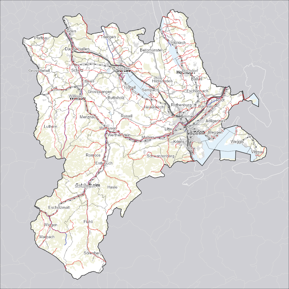
Fischereireviere
Fischereireviere mit Reviernummer und -namen.
Simple
Identification info
- Alternate title
-
FISCHREV_DS
- Date (Creation)
- 2025-10-06
- Presentation form
- Digital map
- Purpose
-
Zeigt Fischereireviere im Kanton Luzern und findet Verwendung in Fischereirevierkarten. Fischereirevierkarten sind Bestandteil der Fischereirevier-Pachtverträge.
- Status
- On going
Point of contact
Responsible party
- Organisation name
-
Kanton Luzern, Abteilung Geoinformation
- Voice
-
041 228 51 83
Address
- City
-
Luzern
- Postal code
-
6002
- Country
-
CH
- Electronic mail address
- Streetname
-
Murbacherstrasse
- Streetnumber
-
21
- Website
- https://geoportal.lu.ch/ ( https )
- Role
- Publisher
Point of contact
Responsible party
- Organisation name
-
Dienststelle Landwirtschaft und Wald (lawa)
- Voice
-
041 349 74 00
Address
- City
-
Sursee
- Postal code
-
6210
- Country
-
CH
- Electronic mail address
- Streetname
-
Centralstrasse
- Streetnumber
-
33
- Role
- Owner
- Last Name
-
Dienststelle Landwirtschaft und Wald (lawa)
- Organisation Acronym
-
lawa
- Maintenance and update frequency
- As needed
-
geocat.ch
-
-
opendata.swiss
-
Administrative Einteilung
-
Fauna
-
Fischerei
-
- Access constraints
- none
- Use constraints
- Copyright
- Use limitation
-
öffentlich zugängliche Geobasisdaten
- Access constraints
- none
- Use constraints
- none
- Use limitation
-
Freie Nutzung. Quellenangabe ist Pflicht
- Aggregate Datasetindentifier
- e74766d2-6d07-45dc-b87b-09c295dd24d4
- Association Type
- Larger work citation
- Aggregate Datasetindentifier
- de753132-f8a7-4a4d-a652-65946f1263b0
- Association Type
- Larger work citation
- Aggregate Datasetindentifier
- b2bff274-9579-48a7-b7ea-bbc075101618
- Association Type
- Larger work citation
- Aggregate Datasetindentifier
- bb1668d9-b78f-42ee-8b45-f465cd324a5d
- Association Type
- Larger work citation
- Aggregate Datasetindentifier
- 3fec5466-58b2-4907-8c94-89367a859d2b
- Association Type
- Larger work citation
- Aggregate Datasetindentifier
- ab16e834-933d-41d8-a632-d1608e3fda25
- Association Type
- Larger work citation
- Aggregate Datasetindentifier
- fb822328-7caa-484f-8081-5158678306b7
- Association Type
- Larger work citation
- Spatial representation type
- Vector
- Denominator
- 25000
- Language
- Deutsch
- Character set
- UTF8
- Topic category
-
- T Economical Activities
- Description
-
Kanton Luzern
))
- Distribution format
-
-
ESRI Geodatabase (.gdb)
(
)
-
ESRI Shapefile (.shp)
(
)
-
OGC GeoPackage (.gpkg)
(
)
-
ESRI Geodatabase (.gdb)
(
)
Distributor contact
Responsible party
- Organisation name
-
Dienststelle Raum und Wirtschaft (rawi)
- Voice
-
041 228 51 83
Address
- City
-
Luzern
- Postal code
-
6002
- Country
-
CH
- Electronic mail address
- Streetname
-
Murbacherstrasse
- Streetnumber
-
21
- Website
- https://geoportal.lu.ch ( https )
- Role
- Point of contact
- First Name
-
Geodaten
- Last Name
-
Kanton Luzern
- Organisation Acronym
-
rawi
- OnLine resource
-
Datenshop
(
https
)
Produktansicht Geodatenshop
- Hierarchy level
- Dataset
- Statement
-
Abgeleitet von: FLGEWNTK
- Statement
-
Grundlagen: Landeskarte 1:25'000 (LK25)
- Geometric object type
- polygon
- Reference system identifier
- CH1903+
Content Information
- Metadata language
-
ger
- Included with dataset
- Date (Publication)
- 2017-06-19
Class
- Name
-
Flächen
- Description
-
Fischereireviere (Flächen)
Attribute
- Name
-
FR_ID
- Description
-
Revier-ID
Attribute
- Name
-
OBJECTID
- Description
-
Objekt-ID
Attribute
- Name
-
SHAPE
- Description
-
SHAPE
Attribute
- Name
-
SHAPE_Area
- Description
-
SHAPE_Area
Attribute
- Name
-
SHAPE_Length
- Description
-
SHAPE_Length
- Model type
- Feature description
- Metadata language
-
ger
- Included with dataset
- Date (Publication)
- 2017-06-19
Class
- Name
-
Linien
- Description
-
Fischereireviere (Linien)
Attribute
- Name
-
FLUSS_ID
- Description
-
6-Stellige Zahl, welche sich aus dem Einzugsgebiet und der Gewässernummer zusammensetzt. Entspricht dem Gewässeridentifikator (GEW-ID) des strukturieren Gewässernetztes, LK25.
Attribute
- Name
-
VON
- Description
-
Anfang einer Gewässerroute [m]
Attribute
- Name
-
BIS
- Description
-
Ende einer Gewässerroute [m]
Attribute
- Name
-
FR_ID
- Description
-
Eindeutige Nummer des Fischereireviers. Verschiedene Routen können zum gleichen Revier gehören. Eine Route kann in mehrere Reviere unterteilt sein.
Attribute
- Name
-
FR_NAME
- Description
-
Name des Fischereireviers. Name des entsprechenden Gewässers mit Angaben zum Teilabschnitt. Pro Revier-ID gibt es einen Namen.
Attribute
- Name
-
OBJECTID
- Description
-
OBJECTID
Attribute
- Name
-
SHAPE
- Description
-
Shape
Attribute
- Name
-
SHAPE_Length
- Description
-
SHAPE_Length
- Model type
- Feature description
Metadata
- Metadata language
- Deutsch
- Character set
- UTF8
- Hierarchy level
- Dataset
- Date stamp
- 2025-10-11
- Metadata standard name
-
GM03 2+
Metadata author
Responsible party
- Organisation name
-
Dienststelle Raum und Wirtschaft (rawi)
- Voice
-
041 228 51 83
Address
- City
-
Luzern
- Postal code
-
6002
- Country
-
CH
- Electronic mail address
- Streetname
-
Murbacherstrasse
- Streetnumber
-
21
- Website
- https://geoportal.lu.ch ( https )
- Role
- Point of contact
- First Name
-
PhulbaDoma
- Last Name
-
Lama
- Organisation Acronym
-
rawi
- Maintenance and update frequency
- Not planned